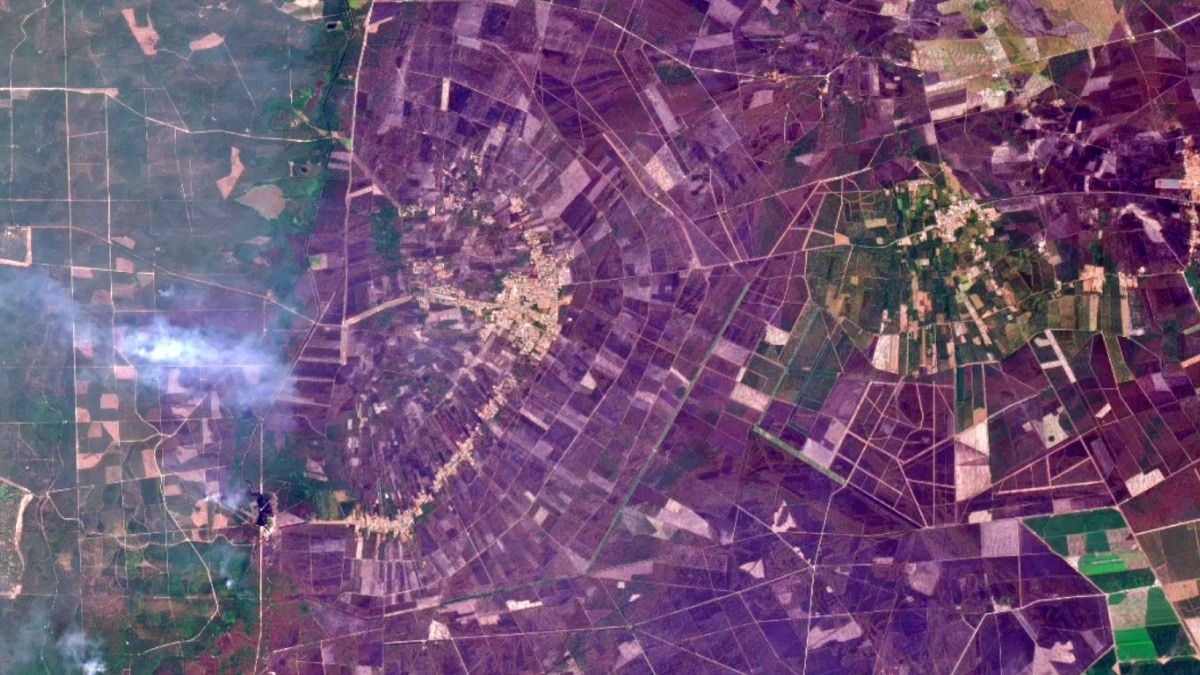
Satellite imagery shows a French wildfire expanding at an alarming rate within just three days, prompting urgent evacuation orders and intensified firefighting efforts across the region.
Key Takeaways
- Satellite data captured a 150% increase in fire spread within 48 hours
- Evacuation orders issued for all affected zones
- Authorities deploying rapid suppression tactics
A wildfire raging in southern France has surged dramatically over the past 72 hours. Images released by the European Space Agency (ESA) reveal the blaze engulfing roughly 200 square kilometres, driven by strong winds and dry conditions.
Situation Overview
The fire ignited on May 28 from a small controlled burn, but quickly escalated as gusty winds fanned the flames. Satellite measurements indicate the fire’s perimeter grew from a modest 60% increase in the first 12 hours to a staggering 150% within two days.
Response and Rescue Efforts
Local authorities have issued mandatory evacuation orders and intensified aerial water drops. Multiple national and European fire brigades have been mobilized to assist in containment and protection of nearby communities.
Why This Matters
BozokMedia analysis shows that such rapid wildfire expansion, captured by satellite imagery, underscores the escalating climate risks in Europe and the urgent need for advanced monitoring systems.
"Satellite technology gives us real‑time insight into fire dynamics, enabling more effective response strategies," said climate expert Dr. Emily Carter.
Frequently Asked Questions
Question 1: Have there been any reported casualties?
Answer: No confirmed casualties yet, but authorities remain on high alert for potential injuries.
Question 2: What are the forecasts for the next few days?
Answer: Meteorologists warn of continued strong winds, which could further fuel the fire’s spread.