A deep dive into satellite imagery reveals that 38% of buildings in Delhi's student hub, Satya Niketan, have grown taller since 2016, signaling massive unauthorized construction.
- Satellite estimates show 38% of comparable building cells in Satya Niketan increased in height between 2016 and 2023.
- Significant vertical growth was noted in 12% of the area, with height increases exceeding 3 metres.
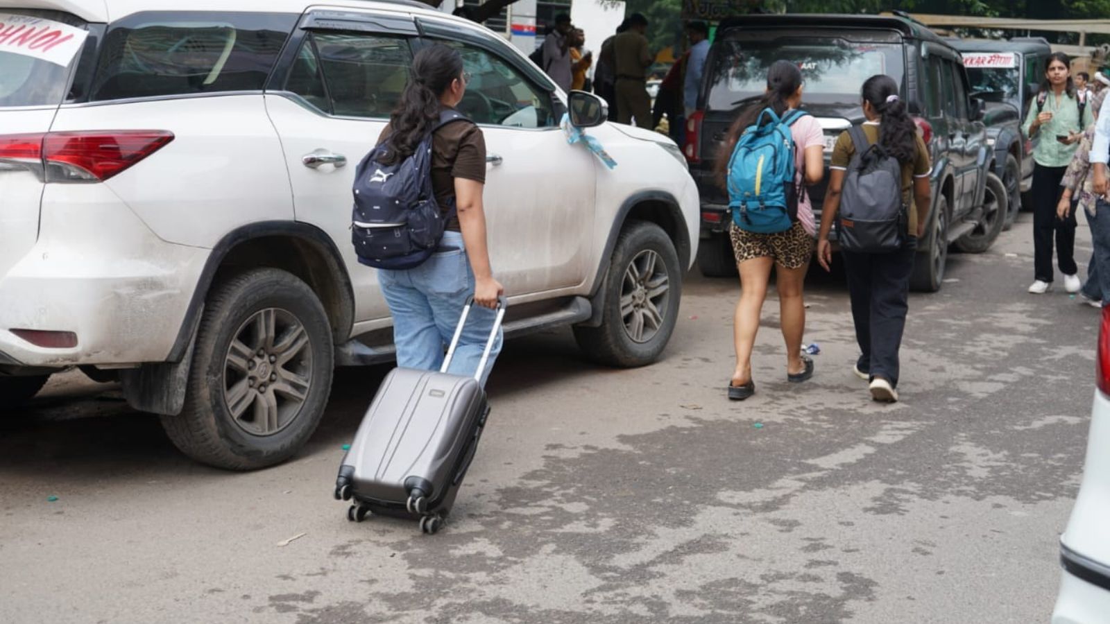
- The surge is driven by intense demand for student housing due to a shortage of university hostels.
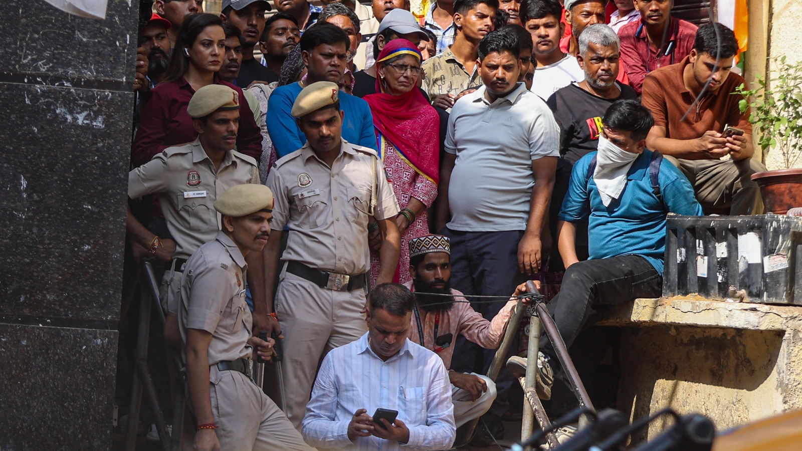
The tragic collapse of a five-storey building in South Delhi’s Satya Niketan, which resulted in multiple fatalities, has reignited a fierce debate over illegal construction and urban safety. New satellite-derived data analyzed by investigative teams shows a massive trend of vertical expansion in this high-density student residential cluster.
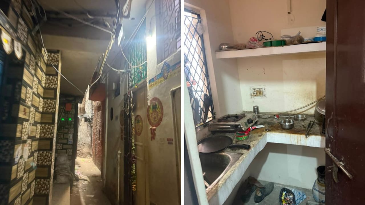
Using Google’s Open Buildings Temporal dataset, an analysis of the area revealed that the number of buildings rose from 179 in 2016 to 204 in 2023. More alarmingly, nearly 38% of the built-up cells showed a measurable increase in height. In several pockets, the height increased by more than 3 metres—roughly the equivalent of adding an entire extra floor.
Why This Matters
BozokMedia analysis shows that this vertical growth is a direct consequence of the mismatch between student population and available institutional housing. As the Delhi High Court recently noted, the shortage of university hostels forces students into the private PG (Paying Guest) market. In a neighborhood where horizontal expansion is impossible due to extreme density, the only way to accommodate more residents is to build upwards, often bypassing municipal safety norms.
The rapid verticalization of student hubs without structural oversight creates a high-risk environment for urban disasters.
The data highlights a broader trend across Delhi. Between 2016 and 2023, the city's building count jumped from 24.1 lakh to 28.4 lakh—an 18% increase in just seven years. In Satya Niketan, the density has reached a breaking point, with existing structures being stretched to their limits to meet the housing demands of the student community.
While the Municipal Corporation of Delhi (MCD) surveys often identify only a small fraction of buildings as 'dangerous,' remote-sensing technology provides a more comprehensive view of how the skyline is changing. The addition of unauthorized floors puts immense pressure on aging electrical grids, water supply lines, and the structural integrity of the foundations.
Frequently Asked Questions
Question 1: How does satellite data track building growth?
Answer: It uses Sentinel-2 satellite observations and machine-learning models to detect changes in building footprints and estimated heights over time.
Question 2: Why is Satya Niketan specifically affected?
Answer: Its proximity to Delhi University's South Campus makes it a prime location for student housing, creating high demand and incentivizing illegal vertical additions.