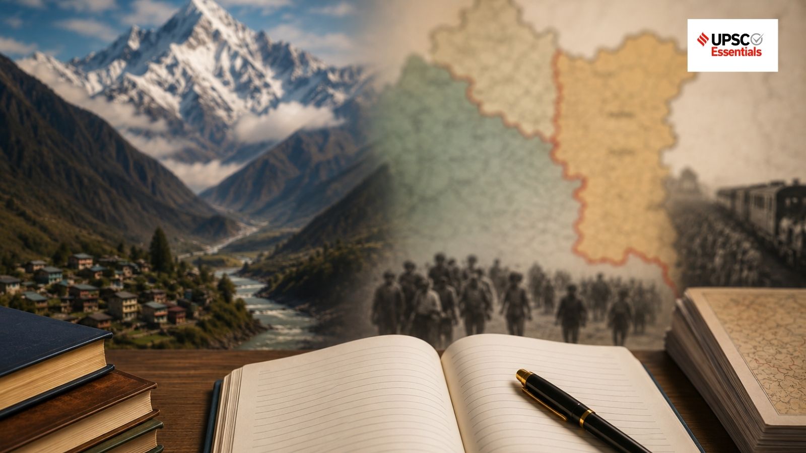
A deep dive into UPSC GS Paper 1 themes, analyzing the geomorphological triggers of Himalayan flash floods and the socio-geographical impact of the Radcliffe Line.
- The Himalayas' steep relief and tectonic activity make them highly susceptible to high-intensity flash floods.
- Glacial collapses and debris-laden surges act as cascading triggers for regional disasters.
- The Radcliffe Line fundamentally reshaped the social, settlement, and connectivity patterns of the Indian subcontinent.
As aspirants gear up for the UPSC Civil Services Mains Exam 2026, mastering the intersection of physical geography and historical impact is crucial. Today's practice session focuses on two heavy-hitting GS Paper 1 themes: the geomorphological vulnerability of the Himalayan region and the multifaceted consequences of the Radcliffe Line.
Geomorphological Factors of Himalayan Vulnerability
The Himalayan mountain system is one of the most disaster-prone regions globally. Its vulnerability is not accidental but a result of complex geological processes. The steep relief of the mountains allows water to travel with immense velocity, preventing gradual absorption and increasing the erosive power of runoff.
Furthermore, the Himalayas are geologically young and tectonically active. This continuous movement leads to slope instability and frequent landslides. When landslides occur, they deposit massive amounts of debris into narrow river valleys, creating temporary dams that, when breached, result in catastrophic flash floods. The recent incident in Nepal, involving a hanging glacier collapse, serves as a stark reminder of how these processes can trigger sudden, high-energy deluges.
Why This Matters
BozokMedia analysis shows that as climate change accelerates glacial melting, the frequency of these 'cascading disasters'—where one event triggers another—is expected to rise, posing an existential threat to downstream settlements and infrastructure.
Understanding the cascading mechanisms of Himalayan disasters is the difference between reactive relief and proactive resilience.
The Radcliffe Line: Beyond Political Boundaries
The Partition of India, demarcated by the Radcliffe Line, was far more than a cartographic exercise. It fundamentally transformed the social and geographical landscape of the subcontinent. By slicing through culturally contiguous regions, it disrupted long-standing settlement patterns and severed vital regional connectivity.
The consequences were profound: sudden displacement of millions, the creation of fragmented economic zones, and a permanent shift in how people interact across borders. For a UPSC aspirant, analyzing this requires looking beyond the map to understand the human and spatial dimensions of geopolitics.
| Dimension | Himalayan Vulnerability | Radcliffe Line Impact |
|---|---|---|
| Nature of Event | Natural / Geomorphological | Man-made / Political |
| Primary Driver | Tectonics & Climate | Political Partition |
| Syllabus Focus | Physical Geography (GS-1) | History & Geography (GS-1) |
Frequently Asked Questions
1. What makes Himalayan flash floods different from other floods?
Answer: They are often 'debris-laden surges' caused by steep terrain and glacial collapses, making them much more destructive than standard riverine floods.
2. How did the Radcliffe Line affect regional connectivity?
Answer: It disrupted traditional trade routes and social networks, creating physical and political barriers that continue to influence South Asian geopolitics today.