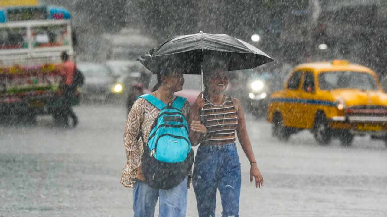
Extreme flooding in Assam has claimed 41 lives, with over 8 lakh people affected. Chief Minister Himanta Biswa Sarma warns that the scale of damage is unprecedented.
The state of Assam is grappling with its most severe flooding in 60 years. According to the Assam State Disaster Management Authority (ASDMA), the death toll has climbed to 41 following 10 more fatalities reported in the last 24 hours. The disaster has displaced or impacted more than 8 lakh residents across hundreds of villages.
Chief Minister Himanta Biswa Sarma, while touring the affected regions, emphasized that the destruction is far greater than initially anticipated. Districts such as Sivasagar, Charaideo, and Jorhat—which are typically not prone to such high-magnitude flooding—are currently the hardest hit. This sudden surge in water levels is attributed to a massive cloudburst in the neighboring Nagaland's Mon district, which triggered intense inflows into Assam.
Why This Matters (इसके मायने क्या हैं)
BozokMedia analysis shows that this catastrophe highlights a critical vulnerability in regional disaster preparedness regarding trans-boundary water surges. The suddenness of the flood, triggered by upstream cloudbursts in Nagaland, suggests that current early warning systems need to be more integrated across state borders to protect vulnerable populations.
Furthermore, the impact on the agrarian economy is staggering. With nearly 25,000 hectares of crops submerged, the long-term economic stability of rural Assam is at risk. This loss of livelihood will likely trigger migration and increase the socio-economic burden on the state government for relief and rehabilitation.
"The unprecedented scale of this flooding in non-traditional flood zones marks a terrifying shift in Assam's hydrological patterns."
Historical Background: While Assam has long dealt with the annual swelling of the Brahmaputra River, the 2026 floods are distinct due to their intensity and the involvement of flash floods from the Nagaland hills. Historically, floods in Assam were more predictable; however, the increasing frequency of cloudbursts is changing the landscape of disaster management in Northeast India.
| Metric | Traditional Flood Patterns | 2026 Flood Scenario |
|---|---|---|
| Primary Cause | Brahmaputra river swelling | Cloudbursts & Flash Floods |
| Most Affected Areas | Regular floodplains | Sivasagar, Charaideo, Jorhat |
| Human Impact | Seasonal displacement | Massive fatalities & 8L+ affected |
Frequently Asked Questions (अक्सर पूछे जाने वाले प्रश्न)
Question 1: Which districts are currently facing the worst situation?
Answer: Sivasagar, Charaideo, and Jorhat are the most severely impacted districts.
Question 2: What is the weather forecast for the coming days?
Answer: The IMD has predicted moderate to heavy rainfall and thunderstorms for the next four days.