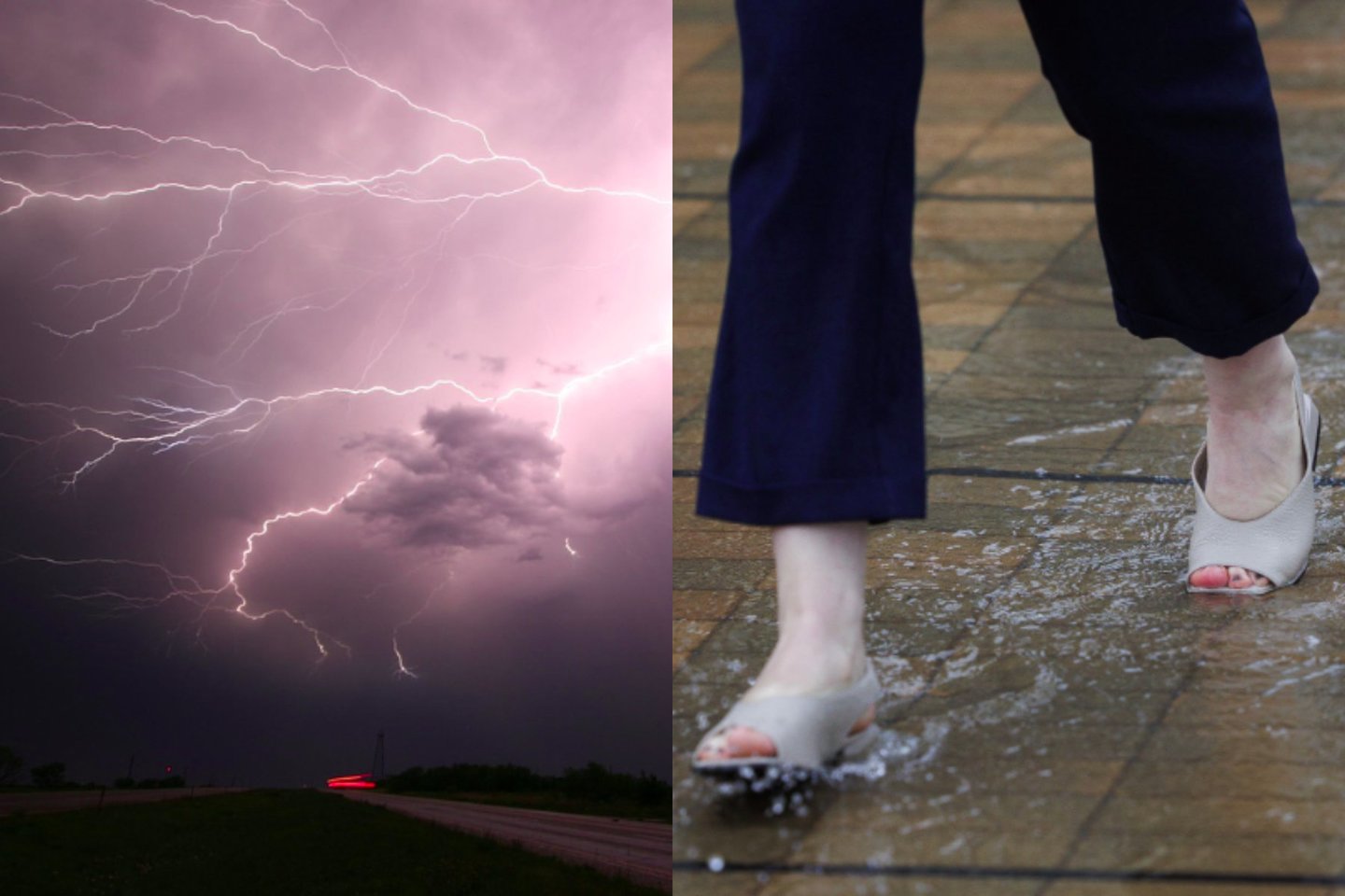
A powerful cyclonic system is set to sweep across Northern Europe, bringing heavy rainfall, thunderstorms, and a sharp drop in temperatures to Lithuania. Meteorologist Elvyra Latvėnaitė warns of autumn-like weather conditions, with Cyclone Nora II leading a parade of low-pressure systems.
- Cyclone Nora II will bring heavy rain and active thunderstorms to Lithuania starting Thursday.
- Temperatures are expected to drop significantly, signaling an early transition to autumn-like conditions.
- Strong wind gusts up to 15-17 m/s are forecasted, particularly in coastal regions.
A dramatic shift in atmospheric patterns over Northern Europe is set to plunge Lithuania and the wider Baltic region into an early autumn. According to prominent synoptician Elvyra Latvėnaitė, while the southern cyclone that recently drenched the region has moved northeast, a massive cyclonic system hovering over Northern Europe continues to drag rain clouds across the country. The arrival of atmospheric fronts from the western cyclone, dubbed 'Nora II', is expected to trigger heavy rainfall and thunderstorms across Lithuania starting Thursday.
On Thursday, intermittent rain will cover most parts of the country, turning heavy in localized areas by midday, accompanied by active thunderstorms. Temperatures during the night will hover between 11°C and 15°C, while daytime temperatures will range from 17°C to 22°C. The western and northwestern regions will experience the coolest conditions, while the southern districts might see a brief high of 23°C before the cold front fully sets in.
Weekly Weather Overview and Comparison
| Day | Temperature Range (°C) | Primary Weather Condition | Wind Speed & Gusts (m/s) |
|---|---|---|---|
| Thursday | 17 - 23°C | Heavy Rain & Midday Thunderstorms | 6 - 11 m/s (Gusts up to 15 m/s) |
| Friday | 20 - 25°C | Brief Showers & Morning Fog | 6 - 11 m/s |
| Saturday | 16 - 23°C | Heavy Rain, Thunderstorms in East | 6 - 11 m/s (Coast up to 13 m/s) |
| Sunday | 17 - 22°C | Scattered Showers, High Winds | 7 - 12 m/s (Gusts up to 17 m/s) |
The unstable weather pattern is projected to persist through the weekend. On Friday, August 21, morning fog will wrap around the southern and southeastern districts, followed by brief but intense showers and thunderstorms in the northern and eastern parts of the country. Saturday will bring even cooler temperatures, especially in the south and east, where daytime highs will struggle to exceed 16°C to 17°C amid persistent downpours.
Why This Matters
BozokMedia analysis shows that the rapid succession of cyclonic systems—referred to by meteorologists as a "cyclone parade"—is a clear manifestation of destabilized jet streams over the North Atlantic. This unexpected summer-to-autumn transition poses immediate risks to local agriculture, disrupts maritime activities in the Baltic Sea, and challenges municipal infrastructure with sudden urban flooding. Understanding these patterns is crucial for regional climate resilience planning.
"The rapid succession of cyclonic systems over the Baltic Sea is indicative of changing atmospheric pressure patterns, resulting in more volatile and unpredictable seasonal transitions."
Historical Background
Historically, August in Lithuania represents the tail end of summer, characterized by warm, stable continental air masses. However, over the past two decades, meteorological records indicate a rising frequency of deep Atlantic depressions penetrating further east into the Baltic states. This shift has altered the traditional seasonal timeline, frequently introducing premature autumn-like storm systems in mid-to-late August, a phenomenon closely monitored by European climatologists.
Frequently Asked Questions
Q1: When will Cyclone Nora II have the most severe impact on Lithuania?
Answer: The most intense impacts, including heavy rainfall, thunderstorms, and wind gusts of up to 15-17 m/s, are expected on Thursday and Saturday across most parts of the country.
Q2: Is this early transition to autumn weather permanent for the rest of the season?
Answer: While the cyclonic active phase will dominate late August, temporary warming trends may still occur in September, though the overall pattern points toward an early and damp autumn transition.