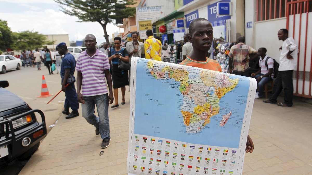
In a landmark move, the United Nations has voted to address the geographic distortions in global maps that significantly underrepresent the true size of the African continent.
- The UN has voted to correct the long-standing geographic distortions in global cartography.
- Current maps often use projections that make Africa appear much smaller than its actual size.
- The move aims to promote accurate geographic awareness and geopolitical representation.
The United Nations (UN) has taken a historic step by voting to correct the 'distorted' representation of the world on global maps. The primary focus of this initiative is the continent of Africa, which has been consistently misrepresented in standard cartography for decades.
For much of modern history, the Mercator Projection has been the standard for world maps. While highly effective for maritime navigation, this projection suffers from massive scale distortion. It significantly enlarges landmasses near the poles—such as Greenland and Europe—while shrinking landmasses near the equator, leading to a profound visual underestimation of Africa's true magnitude.
Why This Matters
BozokMedia analysis shows that maps are not merely neutral tools; they shape human perception and geopolitical importance. By visually minimizing the size of Africa, the global community has inadvertently minimized the perceived economic, demographic, and political influence of the continent. Correcting this visual bias is essential for a more equitable global worldview.
Correcting the map is a vital step in rectifying historical biases and ensuring that the Global South is represented with the dignity and scale it deserves.
The implications of this vote are far-reaching, affecting everything from educational curricula to international diplomatic documents. As the world moves toward a more multipolar reality, the visual representation of power must align with geographical truth. Africa is vast enough to contain the United States, China, India, and most of Europe combined, a fact that current maps often fail to convey.
Historical Background
The dominance of the Mercator projection is often linked to the era of European exploration and colonialism. Critics argue that the projection's tendency to favor northern latitudes helped reinforce a Eurocentric worldview, subtly suggesting that northern powers were geographically more dominant than they actually were in terms of landmass.
Frequently Asked Questions
Question 1: Why does the Mercator projection distort size?
Answer: It projects a spherical Earth onto a flat cylinder, which requires stretching the areas near the poles to maintain straight lines for navigation.
Question 2: How will this change impact students?
Answer: Future generations will learn from maps that provide a more accurate sense of scale, fostering a better understanding of global geography.

