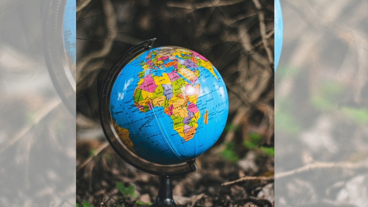
The United Nations General Assembly has adopted the 'Equal Earth' map, correcting long-standing geographical distortions. This new map accurately represents the true scale of continents like Africa.
- The UN General Assembly approved the 'Equal Earth' projection.
- Africa will appear significantly larger, while Europe and North America will appear smaller.
- 164 nations voted in favor; the United States was the sole opponent.
- The move aims to correct the 450-year-old distortions of the Mercator projection.
The way humanity perceives the planet is undergoing a fundamental shift. The United Nations General Assembly has officially approved a new world map designed to represent the true scale of the Earth's continents. Known as the 'Equal Earth' projection, this map aims to correct centuries of visual misinformation. In this new rendition, the continent of Africa will appear much larger, reflecting its true geographic dominance, while Europe and North America will appear relatively smaller.
The voting process highlighted a significant geopolitical divide. A massive coalition of 164 countries voted in support of the resolution. However, in a striking display of dissent, the United States stood alone as the only nation to vote against the proposal. This opposition has sparked intense debate regarding how geography influences global perception and power dynamics.
The Mercator Problem: Why the Old Map Was Flawed
For over four centuries, the world has relied on the Mercator projection, created by Gerardus Mercator in 1569. While this map was a revolutionary tool for maritime navigation—providing straight lines for sailors to follow compass bearings—it came with a heavy cost to geographic accuracy. Because it is impossible to flatten a sphere onto a rectangle without stretching it, areas near the poles appear disproportionately massive.
This distortion led to a skewed worldview where Greenland and Europe seemed much larger than they actually are, while equatorial regions like Africa and India appeared diminished. In reality, Africa is approximately 14 times larger than Greenland, a fact that the traditional Mercator map fails to convey visually.
Maps do more than just show locations; they shape the imagination of children and the very way we perceive our place in the world.
BozokMedia Analysis: A Shift in Global Perception
BozokMedia analysis shows that this transition is more than just a cartographic correction; it is a symbolic move toward decolonizing geography. By emphasizing the true scale of the Global South, the UN is subtly recalibrating the visual hierarchy of global power. The proposal, championed by Togo's Foreign Minister Robert Dussey, argues that misleading maps perpetuate false perceptions of importance for generations.
The American backlash, voiced by representative Yarina Ferencovich, criticized the UN for focusing on 16th-century map debates instead of pressing modern-day crises. Critics suggest that the preference for the Mercator map has historically bolstered the perceived importance of Western powers by making them appear geographically more dominant than they are.
| Feature | Mercator Projection (Old) | Equal Earth Projection (New) |
|---|---|---|
| Primary Use | Maritime Navigation | Accurate Area Representation |
| Africa's Appearance | Diminished/Small | True and Massive |
| Europe/North America | Exaggeratedly Large | Accurate and Smaller |
| Visual Accuracy | Distorted at Poles | High Area Consistency |
Frequently Asked Questions
1. What is the 'Equal Earth' map?
It is a new map projection designed to show the relative sizes of landmasses more accurately than the traditional Mercator map.
2. Why did the US oppose the change?
The US argued that the UN should focus on urgent global issues rather than debating historical cartographic methods.


