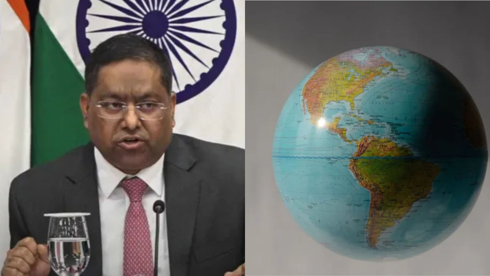
India voted in favor of a UN resolution for more accurate world map projections but issued a stern warning that any depiction of Jammu, Kashmir, and Ladakh must strictly follow India's official map.
- India supported the UN resolution for equal-area world map projections.
- India maintains that Jammu, Kashmir, and Ladakh must be shown per official national maps.
- The Ministry of External Affairs stated sovereignty over these territories is non-negotiable.
New Delhi: In a significant diplomatic move, India has voted in favor of a United Nations resolution aimed at improving global cartographic accuracy, while simultaneously drawing a hard line regarding its territorial integrity. While supporting the move toward 'equal-area' map projections, the Indian government emphasized that the depiction of the Union Territories of Jammu and Kashmir and Ladakh must strictly adhere to India's official national map.
Ministry of External Affairs spokesperson Randhir Jaiswal reiterated that any "inaccurate" or "misleading" representation of India's sovereign territory will be deemed unacceptable. This statement follows the adoption of the UN General Assembly resolution titled 'Correct the Map: Rebalancing Global Cartographic Representation,' which seeks to promote a more equitable representation of the world's regions, particularly Africa.
Why This Matters
BozokMedia analysis shows that this stance is a strategic masterstroke in balancing scientific cooperation with nationalistic defense. By supporting the UN's push for better cartographic science, India positions itself as a progressive global player, yet by immediately qualifying its vote with territorial caveats, it prevents any international loophole that could be used to challenge its borders in disputed regions.
Our position on India’s sovereignty and territorial integrity is clear, consistent and non-negotiable.
The resolution, sponsored by Togo, received overwhelming support with 164 votes in favor. Notably, the United States was the sole dissenting voice, while several other nations abstained. The core objective of the resolution is to encourage map projections that preserve the relative sizes of continental landmasses, correcting the historical distortions found in traditional Mercator projections.
India has clarified that the resolution does not constitute an endorsement of any specific map or a change in political cartography. It is strictly a technical encouragement for equitable representation of landmass sizes, rather than a tool for redrawing international boundaries or addressing disputed territories.
Frequently Asked Questions
Question 1: Why did India support the UN resolution?
Answer: India supported the principle of using equal-area projections to ensure continental landmasses are represented with accurate relative sizes.
Question 2: Does this resolution change India's borders?
Answer: No, the resolution focuses on scientific map projections and does not address or alter international boundaries or disputed territories.
