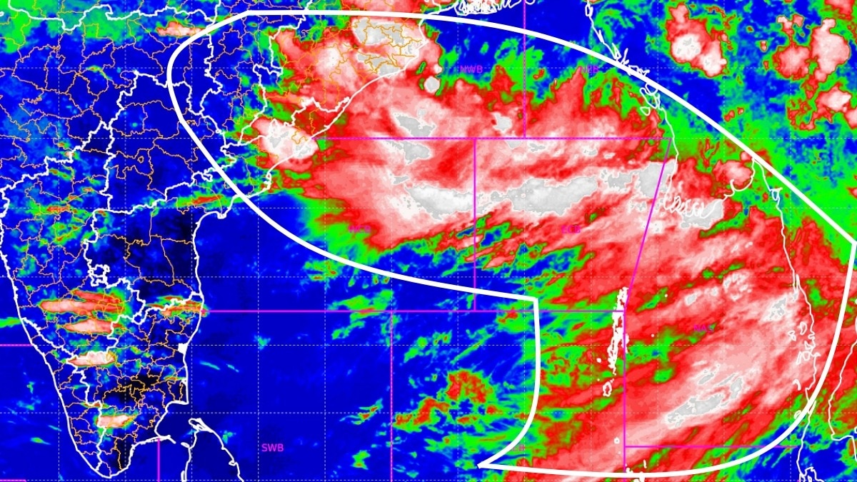
Despite the looming threat of El Niño, a fresh low-pressure area is forming over the Bay of Bengal, promising a renewed surge of heavy rains across Northern and Eastern India.
Key Takeaways
- Low-pressure area likely to form over the northwest Bay of Bengal around August 12.
- Heavy to very heavy rainfall predicted for Odisha, Himachal Pradesh, Uttarakhand, and J&K.
- Active monsoon trough and shear zone are countering the potential weakening effects of El Niño.
India's monsoon is defying the expected seasonal slowdown. According to the latest updates from the India Meteorological Department (IMD), an upper-air cyclonic circulation over the northwest Bay of Bengal is set to evolve into a low-pressure area by August 12. This system is expected to act as a fresh catalyst, driving widespread precipitation across the eastern and northern belts of the country.
The state of Odisha is on high alert, with forecasts predicting heavy to very heavy rainfall between August 12 and 14. Simultaneously, the Western Himalayan region—including Himachal Pradesh, Uttarakhand, and Jammu & Kashmir—is bracing for intense rainfall episodes throughout the week, increasing the risk of flash floods and landslides in mountainous terrains.
Why This Matters
BozokMedia analysis shows that the current atmospheric configuration is unusual. While El Niño typically suppresses monsoon activity, the convergence of a southward-shifted monsoon trough and a persistent shear zone across central India is creating a moisture-rich environment. This atmospheric 'tug-of-war' is currently being won by the monsoon, ensuring that water reservoirs are replenished even as global climate patterns shift.
"The emergence of a new system in the Bay of Bengal at this critical juncture provides a necessary pulse of moisture that could offset the drying effects of El Niño."
The positioning of the monsoon trough is central to this activity. By remaining south of its normal location, it creates a high-efficiency corridor for moisture-laden winds to penetrate deep into the Indian landmass, sustaining rainfall in regions that might have otherwise seen a premature withdrawal.
Frequently Asked Questions
Q1: Which regions are most likely to experience heavy rain?
A: Odisha, the Western Himalayas (HP, UK, J&K), and parts of Central and Eastern India.
Q2: How is the monsoon staying active despite El Niño?
A: The active monsoon trough and the formation of new low-pressure systems in the Bay of Bengal are overriding the typical El Niño-induced deficit.