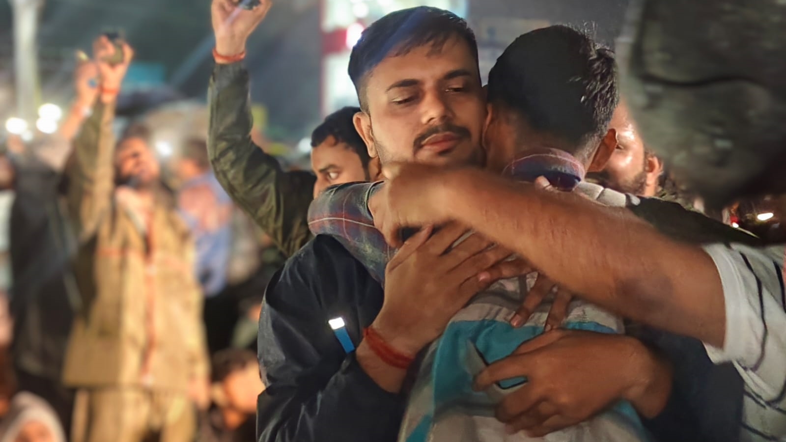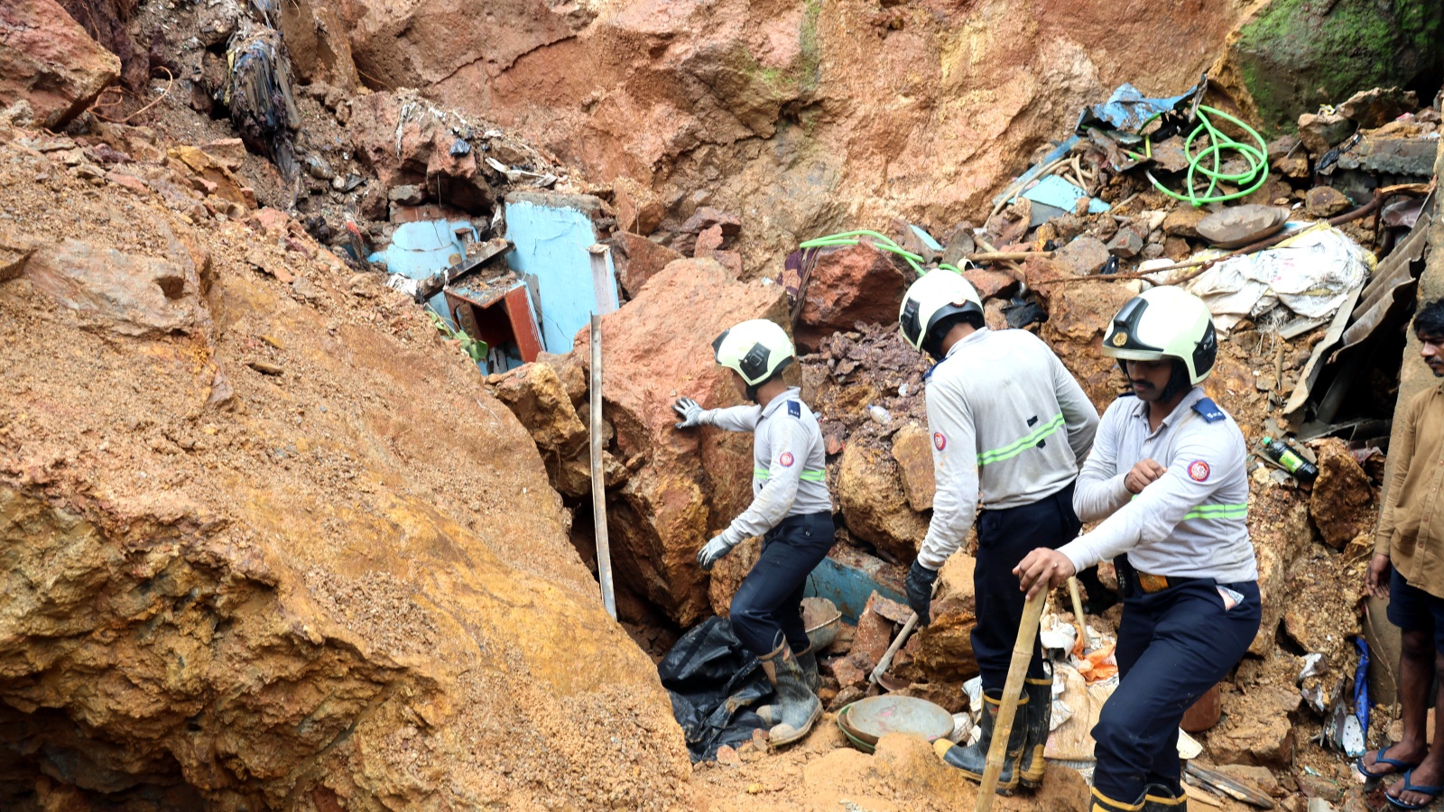
A devastating landslide in Kurla, Mumbai, has claimed eight lives, revealing a chilling reality: the disaster was predicted with surgical precision in a 2018 report that went unheeded.
Key Takeaways
- GSI identified Hill No. 3 in Kurla as a high-risk zone in 2018.
- Eight people, including children, lost their lives in Wednesday's landslide.
- Administrative deadlock between BMC, MHADA, and PWD stalled safety works.
- Lack of proper drainage and tree root penetration triggered the collapse.
The tragic landslide that struck Mumbai's Kurla area this Wednesday was not an unpredictable act of nature, but a foreseeable disaster. Government records reveal that the Geological Survey of India (GSI) had issued a dire warning to the Brihanmumbai Municipal Corporation (BMC) as far back as 2018 regarding the exact hillside that collapsed, claiming eight lives.
A Blueprint for Disaster Ignored
The 2018 risk assessment, a massive 435-page document, specifically flagged 'Hill No. 3' at Saki Naka as a highly vulnerable zone. The report warned that the combination of steep slopes, jointed rock mass, and water percolation through tree roots would inevitably lead to rockfalls. Despite identifying Kurla as one of Mumbai's five primary landslide-risk zones, the recommended protective measures—such as retaining walls and improved drainage—were never implemented.
Why This Matters
BozokMedia analysis shows that this tragedy is a classic case of institutional paralysis. The overlap of jurisdictions between the BMC, the Collector's office, MHADA, and the PWD creates a 'responsibility vacuum' where critical safety infrastructure remains stalled due to funding disputes and bureaucratic red tape.
"Landslides don't happen all of a sudden; changes in slope geometry and land use patterns aggravate them," a GSI official stated.
The disaster was triggered when heavy rainfall uprooted a peepal tree on the slope, sending boulders crashing into the shanties below. This exact mechanism—root penetration aggravating slope instability—was documented in the ignored 2018 report.
Frequently Asked Questions
1. Why wasn't the retaining wall built earlier?
Officials cited funding issues and jurisdictional disputes between different state agencies as the primary reasons for the delay.
2. What was the immediate trigger for this landslide?
Heavy monsoon rains caused a large tree to uproot, destabilizing the loose soil and rocks on the steep slope.
Comparison: Recommendations vs. Reality
| GSI 2018 Recommendation | Current Status (2026) |
|---|---|
| Construction of Retaining Walls | Stalled due to funding/jurisdiction |
| Regular cutting of tree roots | Not implemented |
| Installation of drainage systems | Missing in high-risk pockets |