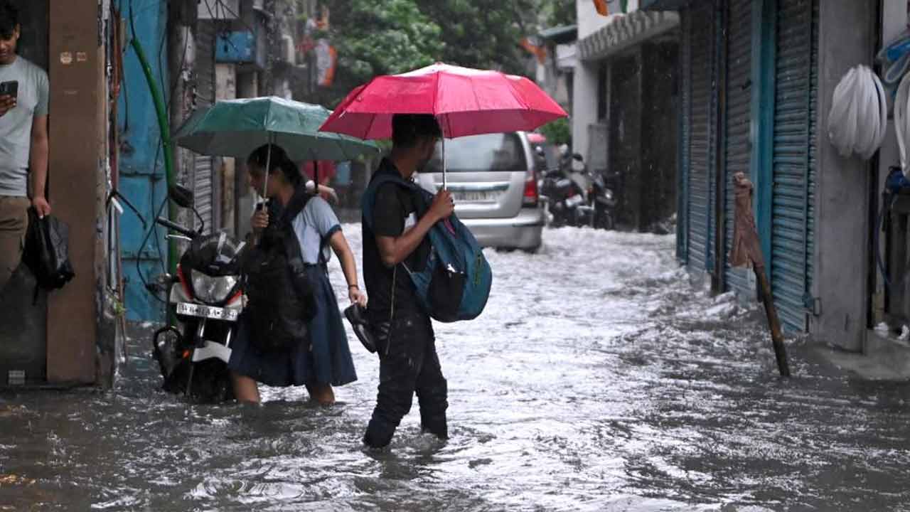
A powerful low-pressure system has intensified over the Bay of Bengal, bringing torrential rains and storm warnings to South Bengal. Authorities have issued a Red Alert for three districts as sea conditions remain treacherous.
- Red Alert issued for Purulia, West Bardhaman, and Bankura due to extreme rainfall.
- Low-pressure system located just 30km from Kolkata, moving towards Jharkhand and Bihar.
- Fishermen are strictly prohibited from venturing into the sea until Tuesday.
The weather situation in West Bengal has escalated significantly as a low-pressure area over the Northwest Bay of Bengal intensified into a depression. According to the Alipore Meteorological Department, the system was positioned approximately 30 kilometers west-northwest of Kolkata as of Monday morning, moving inland at a speed of 6 km/h. This atmospheric disturbance is expected to traverse through Gangetic West Bengal, Jharkhand, and Bihar over the next 24 hours.
The impact is most severe in the southern regions. A Red Alert has been triggered for Purulia, West Bardhaman, and Bankura, where rainfall exceeding 20 cm is predicted. Meanwhile, Kolkata and other southern districts are under an Orange Alert, with expected precipitation ranging between 7 and 20 cm. Residents in North and South 24 Parganas and Midnapore are warned of thunderstorms accompanied by gusty winds reaching speeds of 40 to 50 km/h.
Why This Matters
BozokMedia analysis shows that the rapid intensification of this low-pressure system during the peak monsoon period significantly increases the risk of urban flooding in Kolkata and landslides in the northern hilly tracts. The synchronization of high-velocity winds with extreme rainfall creates a high-risk environment for infrastructure and public safety, particularly in rural districts where drainage systems are often inadequate.
The current trajectory of the depression suggests a prolonged period of instability across the eastern corridor, necessitating strict adherence to safety protocols in coastal and low-lying areas.
The maritime warning remains critical. The sea is expected to be turbulent with wind speeds peaking at 60 km/h. Consequently, fishermen from West Bengal, Odisha, and Bangladesh have been advised to stay ashore until Tuesday to avoid potential casualties at sea.
North Bengal is not exempt from the chaos. Heavy rainfall is forecasted for Darjeeling, Jalpaiguri, and Alipurduar, continuing through Friday. Other districts in the north are under a yellow alert for thunderstorms, with a slight decrease in intensity expected by Thursday.
Frequently Asked Questions
1. Which districts are under the Red Alert?
Purulia, West Bardhaman, and Bankura are under the Red Alert due to the forecast of extreme rainfall exceeding 20 cm.
2. When will the rain subside in South Bengal?
While the intensity is expected to decrease from Wednesday, light to moderate rainfall will likely continue across all southern districts until Sunday.