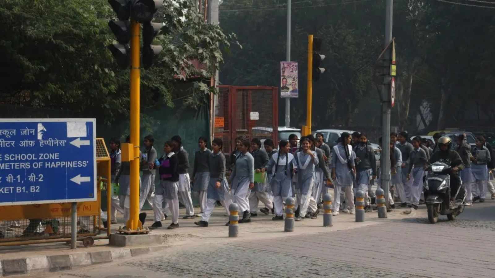
The Delhi Master Plan 2047 aims to transform the capital's mobility by prioritizing non-motorized transport and establishing dedicated pedestrian-only zones. With a focus on the 'Right to Walk,' the plan seeks to overhaul urban infrastructure to reduce vehicle dependency.
- Delhi Master Plan 2047 emphasizes the 'Right to Walk' following a Supreme Court ruling.
- Non-motorized trips (walking, cycling, rickshaws) currently make up 42% of total city travel.
- DDA has identified 24 priority areas and 14 immediate proposals for pedestrian infrastructure.
- The plan includes the removal of encroachments and the creation of 'Multi-Utility Zones' for public convenience.
The Delhi Development Authority (DDA) has unveiled a visionary approach in the Delhi Master Plan 2047, shifting the urban paradigm from vehicle-centric roads to human-centric pathways. At the heart of this transformation is the "Right to Walk," a concept that has gained legal momentum following recent judicial observations. The plan aims to create a citywide network of safe, shaded, and universally accessible pathways that integrate seamlessly with public transport.
Current data reveals a stark reality: the average Delhiite walks only 1.6 km per day, while cycling averages 3.6 km. Despite this, non-motorized trips constitute a significant 42% of all trips in the city, mostly for distances under 5 km. Pedestrians alone account for 35% of this share, highlighting a massive untapped potential for improving walking infrastructure to reduce the burden on motorized transport.
Why This Matters
BozokMedia analysis shows that Delhi's struggle with air pollution and chronic traffic congestion cannot be solved by adding more flyovers. By institutionalizing the "Right to Walk," the DDA is attempting to decentralize movement and promote "Active Travel." This shift is critical for public health and urban sustainability, moving the city toward a model where the last-mile connectivity is handled by feet and pedals rather than combustion engines.
To implement this, the DDA has prepared 14 specific proposals currently under review with road-owning agencies. These include the installation of pelican crossings (pedestrian-operated light controls) near schools and markets to enhance safety. Furthermore, the plan introduces Multi-Utility Zones (MUZs), which will integrate street furniture, seating, garbage bins, and public conveniences like restrooms and drinking water, ensuring that walking is not just a necessity but a comfortable experience.
The transition to pedestrian-only zones in high-footfall commercial and heritage precincts will fundamentally redefine Delhi's economic geography by increasing foot traffic for local vendors.
The infrastructure overhaul also extends to the removal of illegal encroachments and unauthorized structures from footpaths. The plan envisions "active-travel corridors" along roads with a right-of-way exceeding 30 meters, connecting cultural hubs and natural landmarks like the Yamuna riverfront. New land-pooling and transit-oriented developments will be mandated as "Active Travel Areas" from their inception.
| Transport Mode | Trip Share (%) | Optimal Distance |
|---|---|---|
| Pedestrians | 35% | < 5 km |
| Public Transport (Metro/Bus) | 24% | 10.9 km - 16.7 km |
| Cycle Rickshaws | 7% | < 5 km |
| Private Vehicles (Cars/Bikes) | Variable | 8 - 14 km |
Frequently Asked Questions
Q1: What are Multi-Utility Zones (MUZs)?
MUZs are designated areas on sidewalks that accommodate street furniture, signage, public restrooms, and vendors without obstructing the clear walking path for pedestrians.
The plan continues to rely on the Delhi Metro for long-distance travel (averaging 16.7 km) while integrating it with cycle parking and pick-up/drop-off facilities to facilitate the 'Right to Walk'.