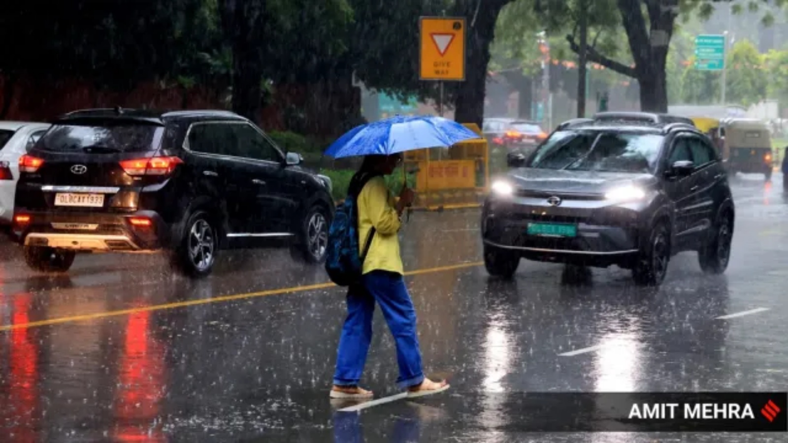
The India Meteorological Department (IMD) has issued a red alert for several parts of Delhi, warning of heavy rain, lightning, and strong winds. August rainfall has already surpassed the long-period average, raising concerns over urban flooding.
- Red alert issued for heavy rain and winds of 30-40 kmph across multiple Delhi districts.
- August rainfall has reached 246.2 mm, exceeding the normal average of 226.8 mm.
- High-risk zones include South East, East, Shahdara, Central, and New Delhi districts.
The India Meteorological Department (IMD) has placed the national capital on high alert, issuing a red warning for heavy rainfall and thunderstorms across various parts of Delhi on Monday. According to the 11 am nowcast, the city is expected to experience intense rain accompanied by lightning and wind speeds ranging between 30-40 kmph.
The warning specifically targets the districts of South East, East, Shahdara, Central, North East, South, and New Delhi. While these areas are under a red alert, the IMD also noted that isolated heavy rain is likely in South West, West, and North West Delhi, with moderate thunderstorms expected across several other pockets of the city. This specific alert is valid until 2 pm on Monday.
Why This Matters
BozokMedia analysis shows that when a city like Delhi surpasses its August Long-Period Average (LPA) so early, the risk of systemic collapse in urban infrastructure increases. The transition from 'normal' to 'excess' rainfall often triggers severe waterlogging in low-lying areas, paralyzing the city's transport network and increasing the risk of electrical hazards due to thunderstorms.
"The critical challenge for Delhi is not the volume of rain, but the city's inability to drain water efficiently from its concrete-heavy landscapes."
Statistically, the city's primary weather station at Safdarjung has recorded 246.2 mm of rainfall over 12 rainy days. This officially crosses the August LPA of 226.8 mm. The crossover was officially recorded on August 14, following a data correction by the IMD regarding an entry error from August 6.
In the last 24 hours, significant rainfall was noted at Janakpuri (29 mm) and Narayana (22 mm). Despite exceeding the average, this year's totals remain lower than the extreme rainfall seen in August 2024 (390.3 mm) and August 2025 (400.8 mm), suggesting that while the current situation is critical, it hasn't yet reached the record-breaking levels of previous years.
| Year/Category | August Rainfall (mm) | Status |
|---|---|---|
| Long Period Average (LPA) | 226.8 | Baseline |
| Current (2026) | 246.2 | Above Normal |
| Year 2024 | 390.3 | Exceptionally High |
| Year 2025 | 400.8 | Record High |
Frequently Asked Questions
1. What does a Red Alert from the IMD signify?
A Red Alert is the highest level of warning, indicating that extreme weather is expected, which could lead to significant disruption of services and potential danger to life and property.
2. Which areas in Delhi are most affected by the current warning?
The most affected areas include South East, East, Shahdara, Central, and New Delhi districts, where heavy rain is most likely.