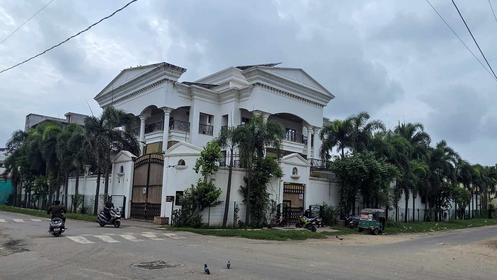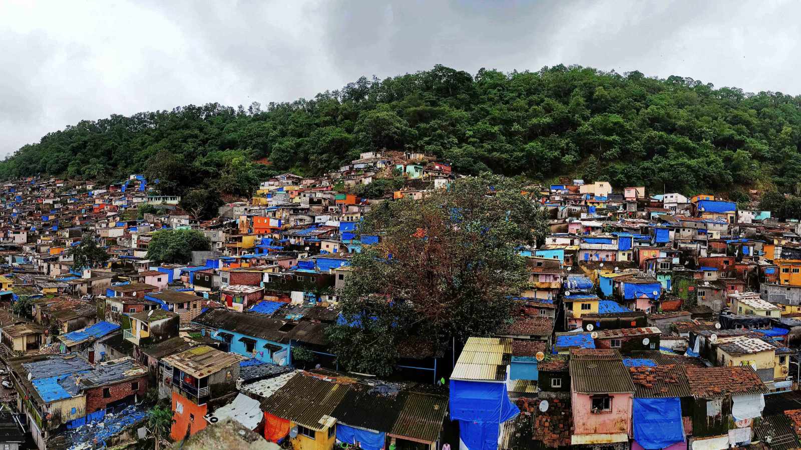
Despite having detailed maps of landslide-prone areas, Mumbai struggles to evacuate residents from high-risk hills due to a jurisdictional tug-of-war between the BMC and the Collector's office.
- Mumbai has identified 287 landslide-prone locations.
- A jurisdictional dispute exists between the BMC and the Collector's office regarding evictions.
- Over 340 people have died in landslide incidents between 1992 and 2026.
- Most high-risk zones are located within informal settlements on hill slopes and former quarries.
Mumbai is caught in a recurring and deadly pattern. The city knows exactly which hills are lethal; it maps them, issues warnings, and then, after a tragedy, engages in bureaucratic debates over who is responsible for clearing them. On August 12, a landslide in Kurla’s Hill Number 3 claimed eight lives, including two toddlers. This follows a similar tragedy in Mankhurd just a month prior. The pattern is clear: identify risk, issue a notice, leave people in place, and debate authority after the blood is spilled.
The Jurisdictional Deadlock
The core of the problem lies in the friction between the Brihanmumbai Municipal Corporation (BMC) and the Mumbai Collector’s office. While the BMC issues warnings, officials claim they cannot enforce evictions because the land falls under the jurisdiction of the state revenue department and the Collector. Conversely, the Collector’s office maintains that the BMC is the primary planning body and lacks the coordination to execute large-scale relocation without state support.
Why This Matters
BozokMedia analysis shows that this administrative gap creates a 'safety vacuum.' A warning without an actionable evacuation or resettlement plan is merely a formal acknowledgment of impending death. The lack of a unified command structure between civic bodies and land authorities directly contributes to the loss of life during monsoon seasons.
A warning is not an evacuation plan. Issuing a notice to vacate is an empty gesture if there is no mechanism to actually move people to safety.
Data from the Geological Survey of India (GSI) and the BMC’s own Climate Action Plan highlight the severity. The GSI identified 45 highly vulnerable sites as early as 2018. Currently, the BMC identifies 287 landslide-prone areas, with the vast majority—209 locations—situated within informal settlements.
Historical Context: From Quarries to Slums
The geography of Mumbai's danger is rooted in its urban history. To reclaim land from the sea and build the expanding metropolis, much of the city's soil and rock were quarried from its hills. These abandoned, unstable quarry sites became magnets for underprivileged migrants seeking affordable housing. As the city grew, these once-remote slopes became densely populated informal settlements, built on terrain that is fundamentally unstable during heavy rainfall.
| Agency | Primary Role | Core Constraint |
|---|---|---|
| BMC | Civic Planning & Disaster Management | Limited authority over state-owned land |
| Collector's Office | Land Administration & Revenue | Lack of resources for large-scale resettlement |
Frequently Asked Questions
1. Why do people live in such dangerous areas?
Answer: Due to extreme scarcity of affordable housing, migrants often settle on hillsides and former quarry sites where rents are lower.
2. Has the government identified these zones?
Answer: Yes, both the GSI and the BMC have mapped hundreds of landslide-prone locations across the city.