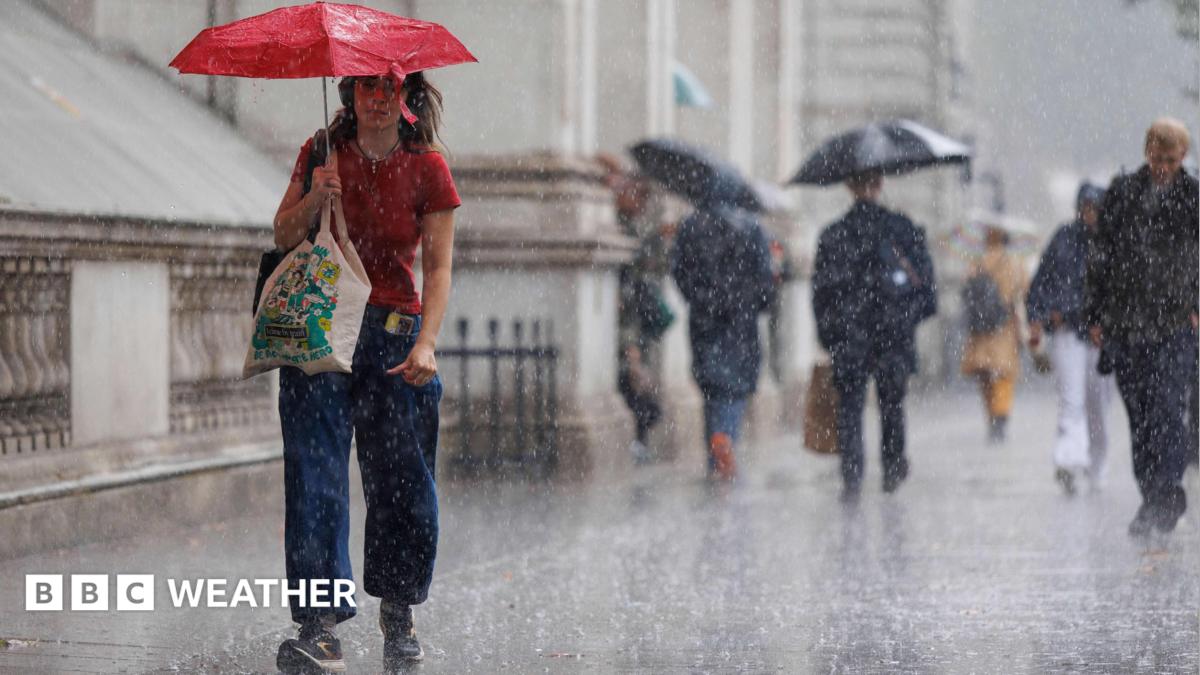
The UK is bracing for a volatile week as persistent rain and thunderstorms return, bringing a heightened risk of flooding to southern regions despite a brief spike in temperatures.
- Showery conditions begin Tuesday, turning widespread by Wednesday.
- High risk of flash flooding in Southern England and Wales.
- Temperatures expected to peak at 27°C in the south-east.
The UK weather is set to turn significantly unsettled this week. While Monday remains largely dry with sunny spells, a low-pressure system arriving from the south-west on Tuesday will trigger showery conditions across parts of southern England and south Wales. This marks the beginning of a volatile weather pattern that will dominate the midweek period.
By Wednesday, the rainfall is expected to become more widespread, impacting England, Wales, and Northern Ireland. While Scotland may remain relatively dry, the rest of the UK faces the threat of heavy downpours. From Wednesday evening through Friday, the risk of torrential rain, hail, and thunderstorms will intensify, particularly in the south.
Why This Matters
BozokMedia analysis shows that the timing of this rainfall is critical. The regions most at risk—Southern England and Wales—have experienced prolonged dry spells, leaving the ground hard and impermeable. When heavy rain hits such surfaces, the water cannot infiltrate the soil quickly, leading to rapid surface runoff and a high probability of localized flash flooding.
"Significant, cumulative rainfall over a period of time is required to officially end drought conditions and restore aquifers."
Despite the wet forecast, a surge of warm air from southern Europe will push temperatures upward. Midweek highs could reach 27°C (81°F) in the south-east, while Scotland and Northern Ireland may see peaks of 21°C. However, meteorologists suggest this warmth will be short-lived, and heatwave thresholds are unlikely to be breached again before September.
| Region | Forecast High Temp | Primary Weather Risk |
|---|---|---|
| South-East England | 27°C | Thunderstorms & Flooding |
| Scotland/N. Ireland | 21°C | Mild/Dry Conditions |
Addressing the ongoing drought, the British Geological Survey (BGS) notes that while this rain is welcome for river levels, reservoirs will take longer to recover. Interestingly, groundwater stores have remained resilient; only 23% of the 35 surveyed sites are showing notably low levels, suggesting a deeper buffer against the dry spell.
Frequently Asked Questions
Q1: Will this week's rain end the current drought?
A: Not entirely. While it helps, the BGS emphasizes that cumulative rainfall over a longer period is necessary for full recovery.
Q2: Why is the flooding risk higher in the south?
A: Because the ground is currently dry and hard, meaning it cannot absorb heavy rainfall as quickly as moist soil would.