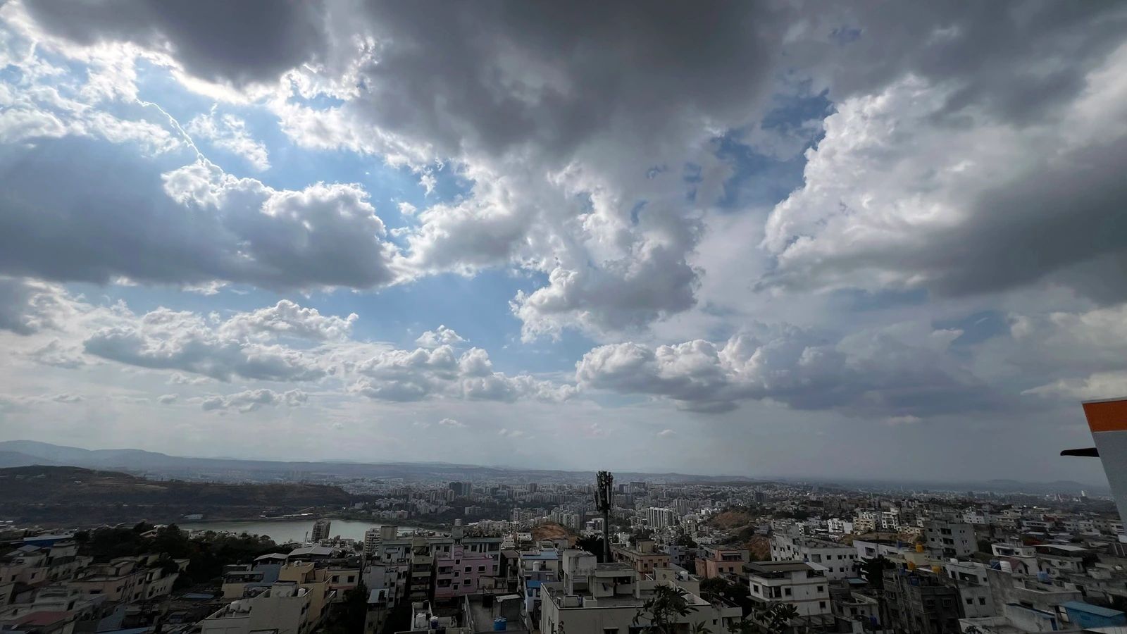
A low-pressure system over the Bay of Bengal is expected to trigger heavy to very heavy rainfall across Kolkata and South Bengal over the next three days, prompting urgent warnings for coastal residents.
- Heavy to very heavy rain forecast for Kolkata and South Bengal for 3 days.
- Wind speeds predicted up to 40-50 km/h in coastal belts.
- Fishermen advised to stay off the sea until Monday.
The India Meteorological Department (IMD) has issued a stern warning following the formation of a well-marked low-pressure area over the northwest Bay of Bengal and the adjoining West Bengal-North Odisha coast. This meteorological system is set to bring significant precipitation across Kolkata and surrounding districts over the next 72 hours.
According to the official bulletin, the system is characterized by a cyclonic circulation extending up to 7.6 km above sea level. Experts anticipate that the system will move west-northwestwards across North Odisha and Gangetic West Bengal within the next 24 hours, intensifying rainfall activity.
Regional Rainfall Projections
For Sunday and Monday, the IMD predicts heavy to very heavy rain (7-20 cm) at isolated locations in East Midnapore, West Midnapore, and Jhargram. Meanwhile, heavy rain (7-11 cm) is expected in Kolkata, South 24 Parganas, Howrah, Bankura, and Purulia. Coastal regions may experience squally winds reaching 40-50 km/h.
The rainfall activity is expected to persist in Midnapore, Jhargram, Bankura, and Purulia until Tuesday, shifting toward West Bardhaman and Birbhum by Wednesday. In North Bengal, districts including Darjeeling, Kalimpong, and Jalpaiguri are on alert for heavy rain and gusty winds through Thursday.
Why This Matters
BozokMedia analysis shows that the recurring nature of these low-pressure systems during the late monsoon period often leads to severe urban flooding in Kolkata. The combination of high tidal levels and heavy inland rain frequently paralyzes the city's transport network, highlighting the urgent need for resilient urban drainage planning.
"The intersection of cyclonic circulation and coastal moisture creates a volatile environment that can lead to sudden flash floods in low-lying urban pockets."
Local authorities have cautioned citizens against the hazards of lightning and advised them to avoid open fields and vulnerable structures. There are also concerns regarding potential crop damage in the agrarian belts of South Bengal.
| Region | Predicted Rainfall (cm) | Wind Speed (km/h) |
|---|---|---|
| South Bengal (Coastal) | 7 - 20 | 40 - 50 |
| Kolkata & Environs | 7 - 11 | 30 - 40 |
| North Bengal | 7 - 11 | 30 - 40 |
Frequently Asked Questions
Q1: Until when are fishermen advised to avoid the sea?
A: Fishermen have been warned not to venture into the sea until Monday due to squally winds.
Q2: Which districts are expected to receive the heaviest rainfall?
A: East Midnapore, West Midnapore, and Jhargram are expected to see the highest rainfall, ranging from 7 to 20 cm.