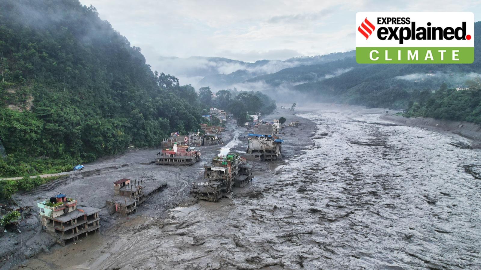
The devastating floods in Nepal have exposed the extreme vulnerability of the Himalayan region. Experts warn that aggressive dam construction and rapid climate change are creating a perfect storm for future disasters.
- Over 734 dead and 3,000 missing following a glacier collapse near the China-Tibet border.
- High Mountain Asia is warming at twice the global average rate.
- Massive hydropower expansion is destabilizing the region's fragile geology.
- Lack of transboundary cooperation between China, India, and Nepal hinders disaster mitigation.
The recent catastrophic flooding in Nepal has sent shockwaves through the international community. Following a glacier collapse near the China-Tibet border, the death toll has climbed to over 734 people, with more than 3,000 individuals still missing, including approximately 320 Indian nationals. This is not merely a localized weather event but a stark warning about the fragility of the Himalayan mountain system.
The topography of the Himalayas—characterized by melting glaciers, steep slopes, and fast-flowing rivers—is inherently prone to natural disasters. However, researchers in a 2022 study published in Nature highlighted that High Mountain Asia (HMA) is warming at a rate of 0.32°C per decade, double the global average. This accelerated warming leads to more frequent Glacial Lake Outburst Floods (GLOFs).
Why This Matters
BozokMedia analysis shows that the intersection of rapid climate change and aggressive infrastructure development is creating an unprecedented level of risk for millions living downstream in India, Nepal, and Bhutan.
While hydropower projects offer energy security, they come at a heavy geological cost. Researcher Mirza Zulfiqur Rahman notes that the intense drilling and tunneling required for dams and tunnels are shaking the very foundation of the mountains. The recent floods impacted 13 hydropower plants, demonstrating how infrastructure can become a liability during extreme weather events.
Building a dam also shakes up the geology of the area and makes it much more prone to earthquakes.
The situation is further complicated by geopolitical tensions. China's massive infrastructure buildup in Tibet, including the mega-dam on the Yarlung Tsangpo river, is viewed with concern by neighboring nations. Recent reports have even identified an active fault line directly beneath the proposed site of the Chinese dam, suggesting that the project could trigger significant seismic activity.
| Factor | Natural Vulnerability | Human-Induced Risk |
|---|---|---|
| Climate | Glacial Melting | Global Warming Acceleration |
| Geology | Earthquakes/Landslides | Dam Construction/Tunneling |
| Governance | Natural Disasters | Lack of Transboundary Data Sharing |
Frequently Asked Questions
1. How does climate change affect Himalayan floods?
Climate change causes glaciers to melt faster, creating unstable glacial lakes that can burst without warning, leading to flash floods.
2. Why are dams considered risky in this region?
The intensive construction process (drilling/tunnelling) can destabilize the fragile mountain geology, increasing the risk of landslides and earthquakes.

