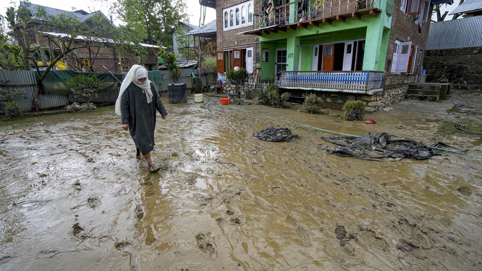
The Jammu & Kashmir administration is deploying advanced sensor-based early warning systems across three key hydroelectric projects to mitigate the risks of cloudbursts and glacial lake outbursts.
- EWS to be installed at Baglihar, Upper Sindh, and Parnai hydroelectric projects.
- Strategy inspired by recent devastating floods in Nepal caused by GLOFs.
- Mundiskar lake identified as 'highly vulnerable' to outburst floods.
- DMRRR is developing a GIS-based multi-hazard risk atlas for the region.
In a decisive move to bolster disaster resilience, the Jammu & Kashmir government is integrating advanced early flood warning systems into its critical energy infrastructure. Rahul Yadav, Managing Director of the Jammu Kashmir Power Development Corporation (JKPDC), confirmed that tenders have been floated for the installation of these systems at the 900-MW Baglihar project (Ramban), the 105-MW Upper Sindh project (Ganderbal), and the 37.5-MW Parnai project (Poonch).
The proposed system involves the strategic placement of sensors and communication equipment upstream of dams and barrages. This infrastructure is designed to provide a critical response window of one to two hours, allowing for evacuations and emergency shutdowns. To prevent system failure, 'sensor redundancy' will be implemented, ensuring that a backup sensor automatically activates if the primary one fails.
Why This Matters
BozokMedia analysis shows that the Himalayan belt is becoming a hotspot for hydro-meteorological disasters due to rapid glacial melt. The recent tragedy in Nepal, triggered by a high-altitude glacial lake outburst flood (GLOF) on the China border, serves as a grim warning. For J&K, particularly the Chenab Valley which witnessed 50 deaths in the Chishoti flash floods last year, these technological interventions are no longer optional—they are essential for survival.
"Integrating real-time sensor data with GIS mapping is the only scientific way to transition from disaster response to disaster prevention in mountainous terrains."
The regional vulnerability is stark. Kishtwar Deputy Commissioner Pankaj Sharma noted that studies by the Department of Disaster Management, Relief, Rehabilitation and Reconstruction (DMRRR) have categorized Mundiskar lake as "highly vulnerable." A proposal worth Rs 35 crore has already been submitted to implement mitigation measures in the district.
Further research by Kashmir University’s Department of Geo-informatics has identified five glacial lakes—Bramsar, Chrisar, Nundgol, Bhagsar, and Gangabal—as being in the "very high susceptibility" class. A breach in these lakes could potentially threaten 2,704 buildings and 15 major bridges downstream.
| Project Name | Capacity (MW) | Location (District) |
|---|---|---|
| Baglihar | 900 MW | Ramban |
| Upper Sindh | 105 MW | Ganderbal |
| Parnai | 37.5 MW | Poonch |
To complement these warnings, the DMRRR is executing a five-pronged strategy: creating a GIS-based multi-hazard risk atlas, enforcing strict building safety codes, updating district disaster plans, integrating risk reduction into master plans, and partnering with the Geological Survey of India (GSI) for landslide forecasting.
Frequently Asked Questions
Q1: How does the early warning system provide response time?
By placing sensors upstream, the system detects abnormal water surges long before they reach the dam, transmitting alerts via communication equipment to downstream authorities.
Q2: Which areas in J&K are most prone to landslides?
Kishtwar, Doda, and Ramban districts have been placed in the highly vulnerable category for landslides and flash floods.