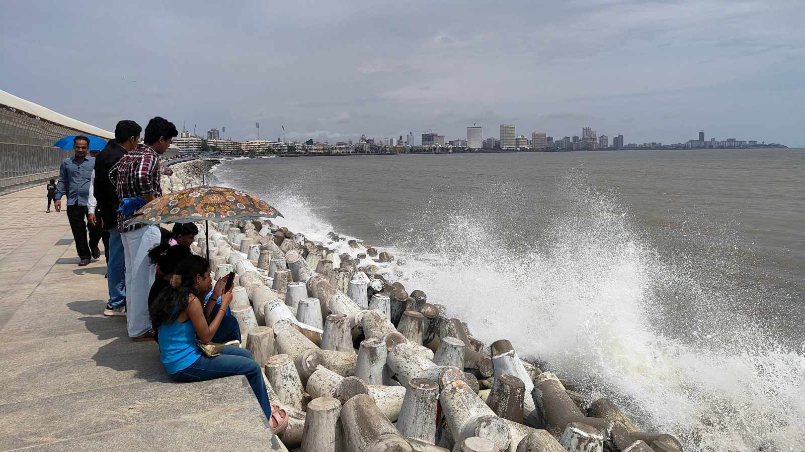
The Brihanmumbai Municipal Corporation (BMC) has launched a fresh climate-risk assessment to map Mumbai's 149-km coastline against rising sea levels and rapid urban development.
- BMC is conducting a new study to map vulnerability along Mumbai's 149-km coastline.
- UN projections suggest sea levels could rise by up to 2 meters in worst-case scenarios.
- Major infrastructure like the Coastal Road has significantly altered the city's shoreline.
- Protecting mangroves is identified as a critical factor for urban resilience.
With the looming possibility of permanent inundation by the end of the century, the Brihanmumbai Municipal Corporation (BMC) has commissioned a critical assessment of Mumbai's vulnerability to rising sea levels. This marks the second such major exercise in the last five years.
The ongoing study aims to map vulnerable stretches along Mumbai’s 149-km coastline, identify at-risk inhabited areas, and evaluate how shifts in land use, coastal development, and climate patterns have altered the city's risk profile. The comprehensive report is slated for release next year.
Why This Matters
BozokMedia analysis shows that Mumbai's rapid transformation presents a unique challenge. While global reports provide a macro view, the BMC's localized study is vital for urban planning. A recent United Nations report highlighted a record 5.9 mm rise in global sea levels in 2024, warning that even under aggressive emission cuts, a 0.5-meter rise is likely by 2100. In extreme scenarios involving Antarctic ice instability, this could reach a catastrophic 2 meters.
Mumbai's flooding is often more a management problem caused by unplanned development than a pure climate change issue.
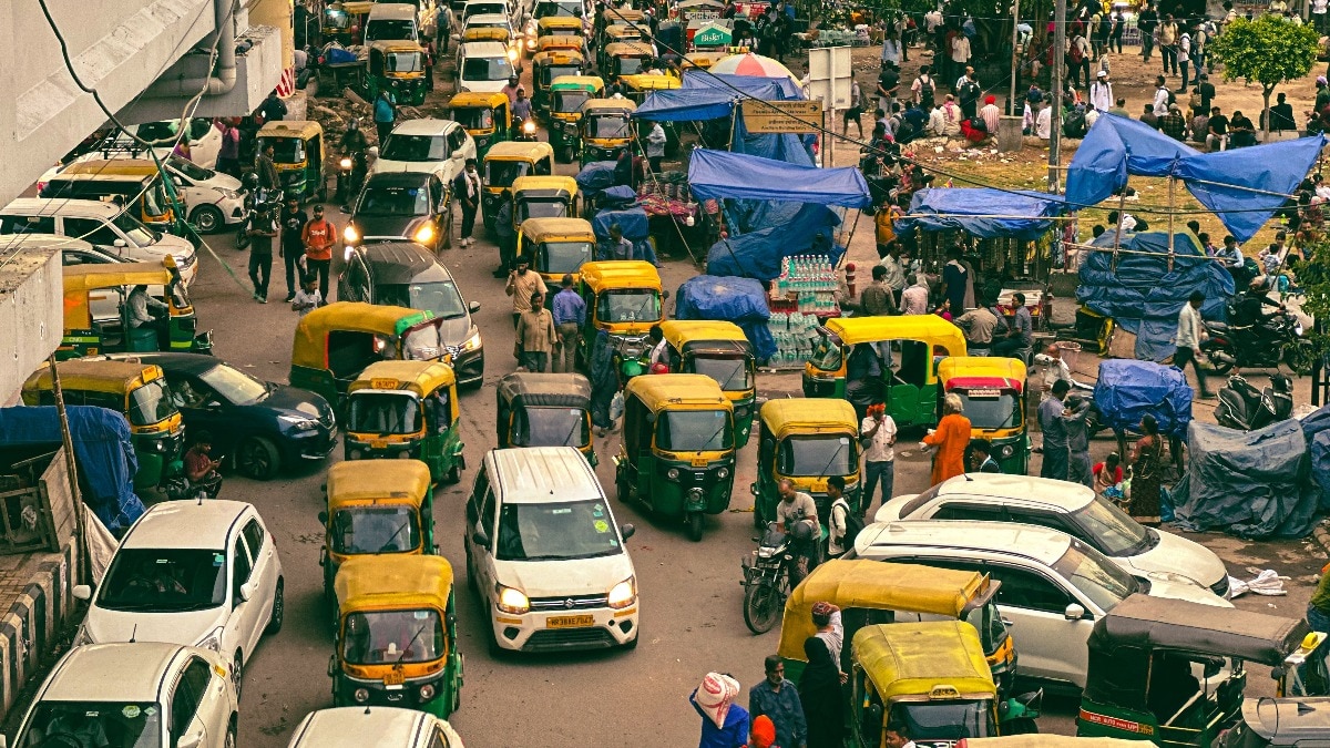
The coastline has undergone massive changes recently. The construction of the Coastal Road has reclaimed over 100 hectares of the Arabian Sea, while salt pan lands on the eastern side are being earmarked for development. These structural changes, combined with rising Sea Surface Temperatures (SST) in the Arabian Sea, create a compounding risk for the city.
Historical Context & Environmental Impact
The first Mumbai Climate Action Plan (MCAP), released in 2022, had already sounded the alarm, projecting that 80% of Mumbai's island city could be submerged by 2050. The plan identified coastal flooding, loss of green cover, and urban heat as primary threats.
| Risk Factor | Impact on Mumbai |
|---|---|
| Sea Level Rise | Permanent inundation of low-lying areas |
| Mangrove Loss | Reduced protection from storm surges |
| Urbanization | Shrinking floodplains and congested rivers |
Oceanographers warn that the concretization of the city has shrunk natural floodplains. For instance, the Bandra Kurla Complex was built on former mangrove land, and the Mithi River has been significantly restricted. Protecting coastal wetlands remains the most effective natural defense against these rising tides.
Frequently Asked Questions
1. What is the goal of the BMC's new study?
The study aims to identify specific vulnerable zones along Mumbai's coast and assess how recent land-use changes affect flood risks.
2. How much could sea levels rise by 2100?
Projections range from 0.5 meters in moderate scenarios to as much as 2 meters in worst-case scenarios.