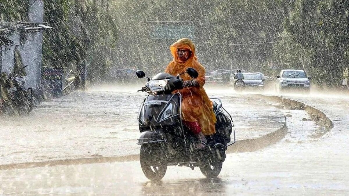
A developing low-pressure area over the Bay of Bengal is set to trigger heavy rainfall across East and Northeast India on Thursday, with Odisha facing the most severe impact.
- Odisha is braced for extremely heavy rainfall on September 10.
- A low-pressure area is forming over the North Bay of Bengal.
- Thunderstorms and gusty winds up to 60 kmph expected in several coastal states.
The India Meteorological Department (IMD) has issued a critical weather alert for Thursday, September 10, predicting heavy rainfall across several parts of eastern and northeastern India. This surge in activity comes as the monsoon season enters its final stretch, driven by an organizing weather system over the Bay of Bengal.
Odisha Under Extreme Risk
Among the affected regions, Odisha is expected to bear the brunt of the weather system. The IMD has forecast heavy to very heavy rainfall at isolated places, with the possibility of 'extremely heavy' rainfall in certain pockets. This wet spell is expected to persist across the state until September 13, while Jharkhand and Gangetic West Bengal will also remain damp over the coming days.
Why This Matters
BozokMedia analysis shows that late-season low-pressure systems in the Bay of Bengal often lead to volatile weather patterns. For the agrarian economy of East India, while this rain can be beneficial, extreme bursts often lead to crop damage and urban flooding in densely populated cities.
The alignment of the monsoon trough from Jammu to the Bay of Bengal, coupled with a new low-pressure area, creates a perfect storm for concentrated precipitation.
Thunderstorms and Wind Hazards
Beyond the rain, the IMD has warned of thunderstorms accompanied by lightning and gusty winds. States including Andhra Pradesh, Tamil Nadu, and West Bengal may experience winds ranging from 40-50 kmph, peaking at 60 kmph. Furthermore, lightning strikes are likely in East Uttar Pradesh, Madhya Pradesh, and Chhattisgarh, posing a risk to outdoor activities.
Historical Background
The transition phase of the Indian Monsoon in September is historically characterized by the 'Withdrawal Phase'. However, this period is frequently interrupted by the formation of depressions and cyclonic circulations in the Bay of Bengal. These systems often shift the rainfall focus from Central India toward the East and Northeast, sometimes triggering flash floods in the Himalayan foothills and coastal plains.
Frequently Asked Questions
Q1: Which state is most at risk of extreme rainfall?
A: Odisha is expected to receive the heaviest rainfall, including 'extremely heavy' spells at isolated locations.
Q2: What is causing this sudden increase in rain?
A: The primary cause is an upper-air cyclonic circulation over the North Bay of Bengal and the subsequent formation of a low-pressure area.