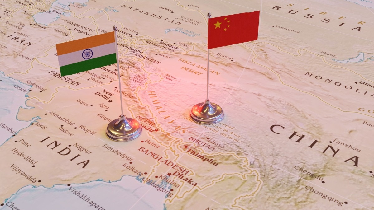
The Arunachal Pradesh Congress Committee has condemned the United Nations for depicting the state as a disputed territory in a recent world map. The party reaffirmed that Arunachal Pradesh is an integral part of India and demanded an immediate correction.
- Arunachal Congress objects to the UN world map showing the state as disputed.
- The party aligns with the Central Government's stance on territorial integrity.
- Call for enhanced infrastructure development in frontier areas to counter cartographic claims.
Itanagar: The Congress party in Arunachal Pradesh has raised a strong objection to the depiction of the state in a recently released United Nations (UN) world map. The Arunachal Pradesh Congress Committee (APCC) asserts that the state is an integral part of the Republic of India and should not be characterized as a disputed territory in any international document.
APCC President Bosiram Siram stated that the party fully supports the Centre's position against any inaccurate or misleading representation of India's territory. He emphasized that no foreign claim, map, or nomenclature could ever alter India's sovereignty over the state.
Why This Matters
BozokMedia analysis shows that this cartographic dispute is a strategic flashpoint in the ongoing geopolitical tension between India and China. When a global body like the UN releases a map with ambiguities, it provides tacit legitimacy to territorial claims by adversarial nations. For India, ensuring that international geographical databases reflect official national boundaries is critical for diplomatic and security stability.
"An imaginary or virtual map, however influential, cannot create, transfer or extinguish sovereignty over a territory."
Siram further argued that Arunachal Pradesh has been administered as part of India since Independence through established constitutional, administrative, and democratic institutions. He noted that the consistent participation of the local population in India's democratic processes is the ultimate proof of the state's status within the Indian Union.
The APCC has urged the United Nations to review its geographical databases and ensure that future maps accurately reflect India's established territorial position. Beyond diplomatic protests, the party suggested that the most effective response to such assertions is the strengthening of national presence through improved roads, communication networks, and security infrastructure in border regions.
Addressing the issue, official spokesperson Randhir Jaiswal clarified that India's vote in favor of a UN General Assembly resolution on equal-area cartographic representation does not constitute an endorsement of any specific map or the acceptance of any boundary claims. He reiterated that India's position on its sovereign territory is clear, consistent, and non-negotiable.
Frequently Asked Questions
Q1: Why is the UN map causing controversy in Arunachal Pradesh?
A: The map depicts the state as a disputed territory, which contradicts India's official position that it is an integral part of the country.
Q2: What is the Indian government's official response?
A: The government maintains that any inaccurate depiction of its sovereign territory is unacceptable and that official maps must be followed.


