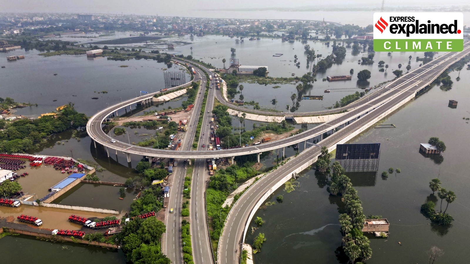
Despite a 27% rainfall deficit, Bihar has faced catastrophic flooding. A deep dive into how the 'backwater effect' of the Ganga and upstream discharge caused this anomaly.
- Bihar faced floods despite cumulative rainfall being 27% below normal.
- The Ganga reached record-breaking high flood levels (HFL) in Patna and Bhagalpur.
- Upstream rainfall in Uttar Pradesh and Jharkhand, rather than Nepal, was the primary driver.
- The 'backwater effect' prevented tributaries from draining into the swollen Ganga.
For a significant portion of the monsoon season, Bihar appeared to be battling drought rather than deluge. With cumulative rainfall between June 1 and September 8 sitting at 601.1 mm—approximately 27% below the seasonal average—many expected a mild year. However, the situation shifted violently in September, leading to a crisis that affected over 40 lakh people across 14 districts.
The most startling aspect of this disaster was the behavior of the rivers. Traditionally, rivers entering from Nepal, such as the Bagmati, Kamla, Kosi, and Gandak, surge first. This year, the pattern inverted. The Ganga became the primary source of concern, crossing its previous Highest Flood Level (HFL) at Patna’s Gandhi Ghat, reaching 50.58 metres—surpassing the 2016 record.
Why This Matters
BozokMedia analysis shows that Bihar's flood vulnerability is no longer just about local rainfall or the 'Nepal factor.' The state is now a victim of regional hydraulic synchronization. When the Ganga swells due to heavy rainfall in the Allahabad and Varanasi regions of Uttar Pradesh, it acts as a wall for other rivers. This creates a 'backwater effect,' where tributaries like the Gandak and Punpun cannot discharge their water into the Ganga, causing them to overflow their banks regardless of local rain levels.
The inversion of the typical flood sequence proves that downstream hydraulic conditions are now as critical as upstream precipitation.
Furthermore, the role of sediment cannot be ignored. Bihar's landscape is one of the flattest in India. The rivers carry massive amounts of silt, which gradually raises the riverbeds. This phenomenon, compounded by the Farakka Barrage which traps silt, means that even normal water volumes can now cause the river to spill over into surrounding plains.
While the state has constructed over 3,730 km of embankments, these are not silver bullets. Flooding continues through seepage and the overtopping of older structures. The disaster management reports indicate that 2,157 villages were submerged, proving that structural engineering alone cannot override the geographical reality of an alluvial plain.
| Factor | Traditional Pattern | 2026 Pattern |
|---|---|---|
| Primary Trigger | Nepal Rivers (Kosi/Gandak) | Ganga (Upstream UP/Jharkhand) |
| Rainfall Status | Heavy Local Monsoon | Deficit overall, but late spikes |
| River Sequence | Tributaries $\rightarrow$ Ganga | Ganga $\rightarrow$ Tributary Backflow |
Frequently Asked Questions
Q1: Why did Bihar flood if there was less rain?
A: The flooding was caused by heavy rainfall in upstream regions (UP and Jharkhand) and a 'backwater effect' where the swollen Ganga blocked other rivers from draining.
Q2: Did the Nepal glacial lake outburst cause this?
A: While there was an outburst in Tibet affecting Nepal, the Bihar Water Resources Department managed the discharge via the Valmikinagar Barrage; it was not the primary cause of the widespread flooding.

