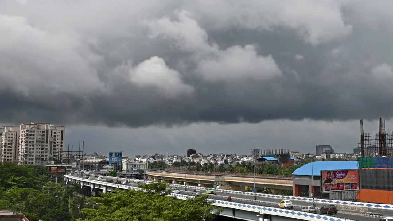
A new low-pressure area forming in the Bay of Bengal is set to trigger heavy rainfall across five southern districts of West Bengal and widespread instability in North Bengal.
- Heavy rain expected in South 24 Parganas, East Midnapore, West Midnapore, Jhargram, and Purulia.
- North Bengal to face intermittent storms and rain until Sunday.
- Fishermen warned against venturing into the sea due to gusty winds up to 55 kmph.
The meteorological department has issued a warning as a cyclonic circulation in the Bay of Bengal is likely to evolve into a low-pressure area by Thursday. This atmospheric shift is expected to bring significant precipitation and stormy weather to several parts of West Bengal, particularly affecting the southern and northern regions differently.
Regional Impact Analysis
In South Bengal, the districts of South 24 Parganas, East Midnapore, West Midnapore, Jhargram, and Purulia are on high alert for heavy rainfall starting Thursday. The coastal districts of South 24 Parganas and East Midnapore are expected to experience the most intense thunderstorms. While Kolkata is not expected to see heavy downpours, the city will remain overcast with scattered light to moderate rain and occasional lightning.
Meanwhile, North Bengal is not exempt from the turbulence. Intermittent rain and thunderstorms are predicted across almost all northern districts until Sunday. Specifically, Alipurduar and Jalpaiguri are braced for heavy rainfall on Friday, with Darjeeling and Kalimpong joining the list on Saturday.
Why This Matters
BozokMedia analysis shows that the frequency of these low-pressure systems in the Bay of Bengal during this window can lead to sudden flash floods in low-lying areas of the Sundarbans and disrupt agricultural activities in the western districts. The synergy between the cyclonic circulation and local moisture levels increases the risk of lightning strikes, which poses a direct threat to rural populations.
The rapid intensification of low-pressure zones in the Bay of Bengal is often linked to fluctuating sea surface temperatures, necessitating high-precision monitoring for coastal safety.
The maritime impact is particularly severe. Winds between 35-45 kmph, with gusts reaching up to 55 kmph, are expected along the coasts of West Bengal, Odisha, and Bangladesh. Consequently, the weather office has issued a strict advisory for fishermen to avoid venturing into the deep sea on Thursday and Friday.
Frequently Asked Questions
Q1: Which districts in South Bengal will be most affected?
The most affected areas will be South 24 Parganas, East and West Midnapore, Jhargram, and Purulia.
Q2: Is it safe for fishermen to go to sea?
No, the weather department has advised fishermen to stay ashore on Thursday and Friday due to high wind speeds.