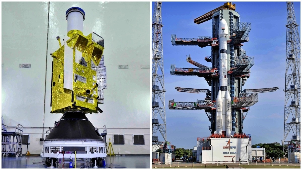
The Indian Space Research Organisation (ISRO) is set to launch the EOS-05 satellite on September 4, serving as the successor to the failed GISAT-1 mission to provide near-continuous geostationary imaging of the Indian subcontinent.
- EOS-05 will launch on September 4 via the GSLV-F17 mission from Sriharikota.
- Operates from a geostationary orbit 36,000 km above the equator for persistent surveillance.
- Capable of providing imagery every 30 minutes, reducing to 5 minutes for priority targets.
The Indian Space Research Organisation (ISRO) is preparing for a pivotal milestone in its Earth observation program. Scheduled for launch on September 4, the EOS-05 satellite is designed to establish a persistent imaging capability from geostationary orbit, filling a critical gap in India's space-based surveillance infrastructure.
Understanding the GISAT Concept
EOS-05 is the successor to the GISAT-1 (Geo Imaging Satellite) mission, which unfortunately failed during its launch attempt in 2021. Unlike conventional Earth observation satellites that operate in Low-Earth Orbit (LEO) and only capture images when passing over a specific coordinate, EOS-05 will be positioned in a geostationary orbit.
At an altitude of approximately 36,000 kilometers, the satellite orbits the Earth at the same rotational speed as the planet itself. This allows the satellite to remain fixed relative to the Earth's surface, enabling it to watch the Indian subcontinent and surrounding regions almost continuously without interruption.
Why This Matters
BozokMedia analysis shows that this capability is a game-changer for disaster response. In scenarios involving rapidly evolving weather patterns, such as cyclones or flash floods, the ability to receive updated imagery every 5 to 30 minutes allows government agencies to make life-saving decisions in real-time. Beyond disaster management, this provides a strategic advantage for national security and border monitoring.
"The transition from periodic LEO imaging to continuous geostationary surveillance marks India's evolution into a top-tier space power with autonomous strategic intelligence."
Technological Hurdles and Historical Context
Capturing high-resolution images from 36,000 km away is a monumental engineering challenge. It requires extreme precision in pointing and stability to ensure the imagery is usable. For ISRO, this mission also carries emotional weight; the original GISAT-1 was lost during the GSLV-F10 launch in August 2021. The upcoming GSLV-F17 mission represents a redemption and a technological leap forward.
| Feature | Low-Earth Orbit (LEO) | Geostationary (EOS-05) |
|---|---|---|
| Altitude | 200 - 2,000 km | ~36,000 km |
| Observation Type | Periodic / Snapshot | Continuous / Persistent |
| Revisit Time | Hours to Days | 5 to 30 Minutes |
Frequently Asked Questions
1. How does EOS-05 differ from previous satellites?
Unlike LEO satellites that move across the sky, EOS-05 stays fixed over India, providing continuous rather than periodic images.
2. What happens if the mission succeeds?
India will possess a powerful, independent eye in space for real-time monitoring of natural disasters and strategic interests.