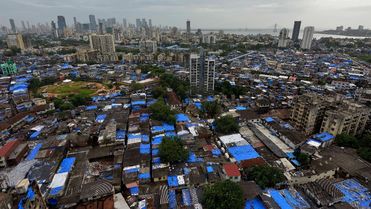
Mumbai’s largest slum, Dharavi, is being captured in a detailed 3‑D digital twin before a sweeping redevelopment begins. The technology will guide relocation, protect cultural memory, and set a new benchmark for urban planning in India.
मुख्य बिंदु (Key Takeaways)
- Digital twin creates a precise 3D archive of Dharavi
- Relocation plans will reference exact household locations and utilities
- Future generations can explore Dharavi’s heritage virtually
In the heart of Mumbai, Dharavi – the nation’s most populous informal settlement – is being digitally immortalised through an ambitious 3‑dimensional twin. Spearheaded by the Adani Group’s redevelopment programme, the twin combines drone surveys, LiDAR scans, lane measurements and door‑to‑door mapping to recreate every alley, workshop and dwelling with centimeter‑level accuracy.
How the Digital Twin Was Built
High‑resolution aerial imagery, ground‑level LiDAR, and exhaustive field surveys were merged into a single visual platform. Beyond bricks and roofs, the model logs utility connections, family composition, and the type of economic activity each unit hosts. Consequently, if a family must move because of a new road alignment or housing cluster, planners instantly know where they lived, what they owned, and which services they relied on.
Streamlining Relocation and Reducing Conflict
Traditional relocation in informal settlements has relied on scattered paper records and manual surveys, often leading to confusion, disputes, and delayed timelines. The digital twin replaces guesswork with a searchable database, allowing authorities to identify who needs to be moved, where suitable rehabilitation sites exist, and what land they will vacate. This precision is expected to make one of India’s most ambitious urban renewal projects far more orderly.
Preserving Cultural Memory in Bytes
When bulldozers eventually carve wider roads and skyscrapers through Dharavi’s narrow lanes, the physical fabric will vanish, but its cultural imprint will endure digitally. Workshops, shared taps, rooftop dwellings, and the mosaic of communities—Tamil eateries, Bihari mechanics, Gujarati traders, and countless others—will remain accessible in a 3‑D environment. Scholars, journalists, and future residents will be able to explore the layout and spirit of a neighbourhood that has long powered Mumbai’s economy.
Broader Implications for Mumbai and Beyond
The success of Dharavi’s digital twin could ripple across the metropolis. Accurate, layered maps can enhance flood‑risk modelling, emergency response, and long‑term infrastructure planning—critical needs for a city prone to monsoon flooding. Moreover, the project demonstrates how technology can bridge the gap between rapid urbanisation and heritage preservation.
Challenges and the Way Forward
While the twin safeguards memory, the human dimension of relocation remains sensitive. Many residents rent homes solely because proximity to work is vital; the economic ecosystem of Dharavi makes even modest spaces highly valuable. Ensuring that the digital record translates into fair, transparent resettlement will be the true test of this initiative.