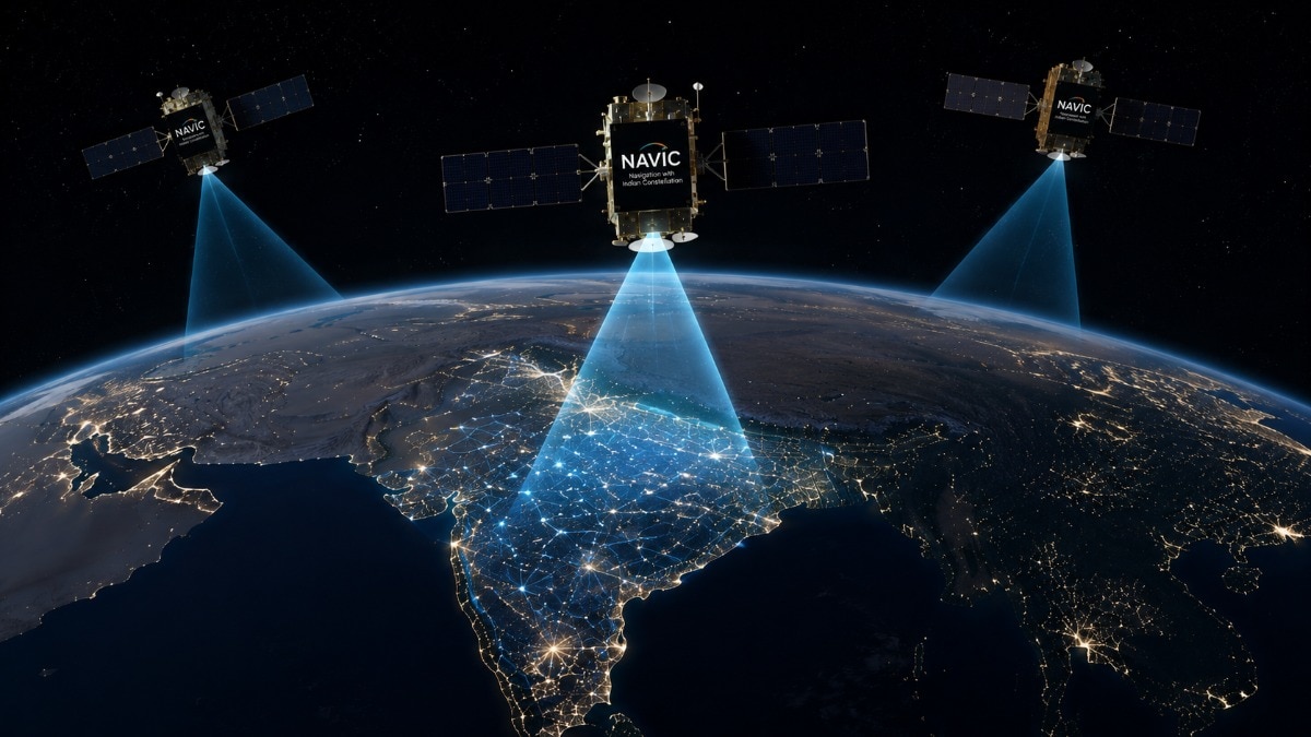
The Indian government has confirmed that NavIC, India's homegrown satellite navigation system, is currently unable to provide standalone location services. Discover the technical reasons behind this failure and how satellite positioning works.
Key Takeaways
- NavIC currently operates with only three active satellites, whereas a minimum of four is required for accurate location calculation.
- The failure of the atomic clock on the IRNSS-1F satellite has significantly impacted the system's capability.
- ISRO is preparing to launch NVS-03 to restore full functionality, with NVS-04 and NVS-05 in development.
- Google Maps remains functional as it utilizes a multi-constellation approach involving GPS, Galileo, and GLONASS.
In a significant development regarding India's space capabilities, the Union Government has officially confirmed that NavIC (Navigation with Indian Constellation) is currently unable to function as a standalone navigation system. For years, smartphone manufacturers in India have touted NavIC support as a premium feature, but the reality behind the scenes reveals a temporary technical setback.
The Technical Breakdown: Why NavIC is Struggling
According to Union Minister of State for Space, Dr. Jitendra Singh, the primary issue lies in the number of operational satellites. Currently, NavIC is powered by only three satellites: IRNSS-1B, IRNSS-1I, and NVS-01. Following the mission end of IRNSS-1F, the constellation has fallen below the critical threshold required for independent positioning.
To understand this, one must understand that smartphones do not possess ultra-precise atomic clocks. To compensate for this, a device needs signals from at least four satellites to perform 'trilateration' and correct timing errors. With only three satellites active, NavIC cannot mathematically determine a user's exact location independently.
Why This Matters: BozokMedia Analysis
BozokMedia analysis shows that NavIC is not just a convenience for smartphone users; it is a cornerstone of India's strategic autonomy. By reducing reliance on the US-owned GPS or the Chinese BeiDou, India secures its defense and disaster management sectors. The current gap highlights the vulnerability of relying on a single constellation and the vital importance of maintaining a constant rotation of satellite launches.
A navigation constellation is only as strong as its weakest link; without the fourth satellite to correct timing discrepancies, the entire system's accuracy collapses.
The road to recovery is already in motion. ISRO has confirmed that the NVS-03 satellite is ready for launch, and subsequent satellites (NVS-04 and NVS-05) are in advanced stages of development. Once these are operational, NavIC will regain its ability to provide high-precision services.
Comparison of Global Navigation Systems
| System Name | Origin Country | Coverage Area |
|---|---|---|
| NavIC | India | India + 1,500 km beyond borders |
| GPS | USA | Global |
| BeiDou | China | Global |
| GLONASS | Russia | Global |
Frequently Asked Questions
1. Will my Google Maps stop working in India?
No. Google Maps uses a combination of multiple systems, including GPS, Galileo, and GLONASS, so it remains unaffected by NavIC's current status.
2. How accurate is NavIC when it is fully functional?
When fully operational with a complete constellation, ISRO states NavIC can pinpoint locations within a 20-meter accuracy range.