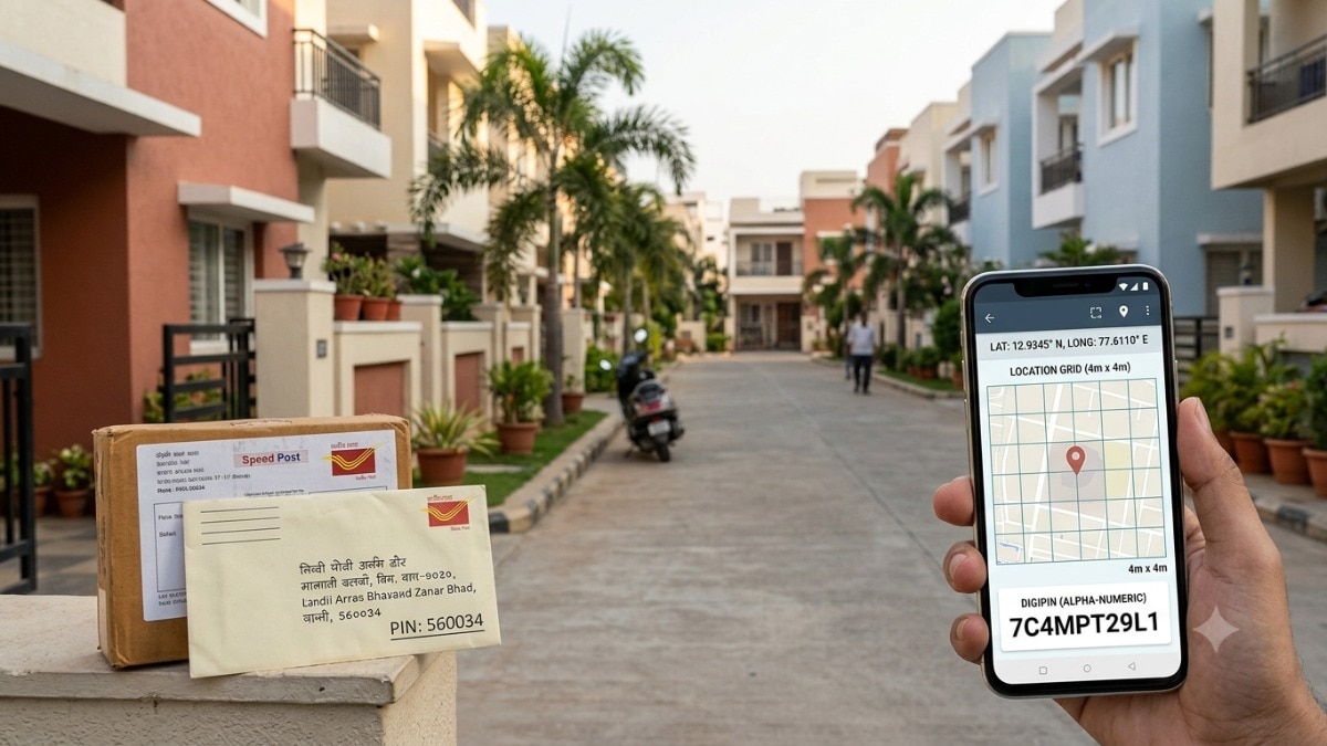
India is transitioning to a high-precision addressing system with DIGIPIN. Learn how this new digital code differs from your traditional 6-digit PIN code.
- DIGIPIN is a 10-character alphanumeric code providing hyper-local precision.
- It is designed to complement, not replace, the existing PIN code system.
- Each DIGIPIN maps to a tiny 4-meter by 4-meter geographic grid.
- Developed through collaboration between the Dept. of Posts, IIT Hyderabad, and ISRO's NRSC.
India's addressing infrastructure is undergoing a massive digital transformation. The Department of Posts has introduced DIGIPIN, a cutting-edge digital address code linked to exact geographic coordinates. While the familiar six-digit PIN code has served the nation for decades, DIGIPIN introduces a level of precision that was previously impossible with traditional postal geography.
The Core Difference: Area vs. Exact Spot
The fundamental distinction lies in the scale of identification. A traditional PIN code (Postal Index Number) identifies a broad postal area, encompassing multiple streets, neighborhoods, or even entire villages. In contrast, DIGIPIN is a granular tool designed to pinpoint a specific location within that larger area.
Why This Matters
BozokMedia analysis shows that as India's e-commerce and logistics sectors explode, the 'last-mile delivery' challenge becomes increasingly complex. Traditional addresses in dense urban slums or sprawling rural landscapes often lead to confusion. DIGIPIN solves this by providing a mathematical certainty to location-based services.
DIGIPIN represents a paradigm shift from descriptive addressing to coordinate-based digital mapping, essential for a modern economy.
Technologically, DIGIPIN is far more advanced. Developed in collaboration with IIT Hyderabad and the National Remote Sensing Centre (NRSC), ISRO, it divides the country into a sophisticated grid system. Each unique 10-character code represents an area of approximately 4m x 4m, making it incredibly useful for high-precision tasks.
| Feature | PIN Code | DIGIPIN |
|---|---|---|
| Format | Six digits | 10-character alphanumeric |
| Purpose | Identifies postal area | Identifies precise location |
| Coverage | Large postal area | ~4m x 4m grid |
| Basis | Postal geography | Geographic coordinates |
Historical Background
The PIN code system was introduced in India in 1972 to streamline the sorting and routing of mail. While highly effective for physical mail, the rise of GPS, drone deliveries, and real-time logistics has necessitated a move toward a digital-first addressing standard that relies on coordinates rather than just street names.
Frequently Asked Questions
1. Will my old PIN code become obsolete?
No. DIGIPIN is an additional layer of information that works alongside your existing postal address.
2. How can DIGIPIN help in emergencies?
Because it provides a 4m x 4m precision, emergency responders like ambulances can find exact locations much faster than using vague street descriptions.