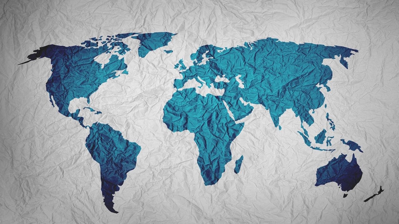
The way we view the world is mathematically distorted. Discover why the standard Mercator map misrepresents the true scale of India and the global shift toward more accurate projections.
- The Mercator projection distorts the size of countries near the poles.
- The UN is backing the 'Equal Earth projection' for better accuracy.
- India and Africa appear significantly smaller than they are on standard maps.
For decades, students and travelers alike have relied on the Mercator Projection to understand the world. However, this widely used map contains a fundamental flaw: it distorts the size of landmasses as they move further from the equator. This is why India, a massive subcontinent, often appears much smaller than northern regions like Greenland or Europe.
The Geometry of Distortion
Developed in the 16th century, the Mercator map was designed primarily for maritime navigation. It allows sailors to plot straight courses, which is vital for sea travel. However, to maintain these straight lines, the map must stretch the geometry near the poles, leading to a massive exaggeration of size in northern and southern latitudes.
Why This Matters
BozokMedia analysis shows that map projections are not just mathematical tools; they influence geopolitical perceptions. When large, populous nations in the Global South are visually minimized on a map, it can subconsciously alter how their global significance is perceived in terms of scale and influence.
The maps we use shape our mental model of global power and territorial importance.
To rectify this visual bias, the United Nations (UN) has thrown its weight behind the Equal Earth projection. Unlike the Mercator, this projection prioritizes 'area equivalence,' meaning the relative size of countries is represented much more accurately, providing a fairer view of the world's geography.
Historical Background
The Mercator projection has remained the standard for centuries due to its utility in navigation. However, as cartography evolved from a tool for sailors to a tool for general education, the demand for area-accurate maps became critical to prevent widespread geographical misconceptions.
| Feature | Mercator Projection | Equal Earth Projection |
|---|---|---|
| Primary Use | Maritime Navigation | Accurate Area Representation |
| Size Accuracy | Low (Distorted at poles) | High (True proportions) |
| India's Appearance | Smaller than reality | Close to actual size |
Frequently Asked Questions
Question 1: Why is the Mercator map still used?
Answer: It remains highly effective for navigation because it preserves constant bearings (rhumb lines).
Question 2: What is the benefit of the Equal Earth projection?
Answer: It provides a much more accurate representation of the actual surface area of continents and countries.