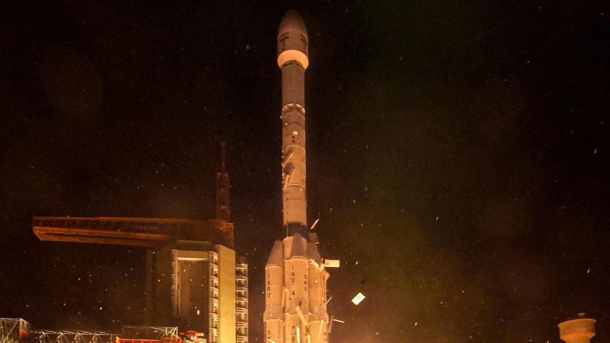
In a major milestone for space exploration, ISRO's EOS-05 Earth-observation satellite has successfully completed its orbital maneuvers to reach its target geosynchronous orbit.
- EOS-05 successfully reached its target orbit of approximately 35,000 km.
- Launched via GSLV-F17, it is the heaviest payload (2,367 kg) carried by the GSLV so far.
- It is India's first imaging satellite designed for geosynchronous orbit operations.
The Indian Space Research Organisation (ISRO) has achieved a significant milestone in its space mission series. India's newest Earth-observation satellite, EOS-05, has successfully completed its orbital climb, reaching its intended geosynchronous orbit on Monday night. This follows the successful execution of the third and final orbit-raising manoeuvre.
Technical Breakdown of the Mission
The journey began on September 4 from Sriharikota, where the satellite was launched aboard the GSLV-F17 rocket. Weighing in at 2,367 kg, EOS-05 stands as the heaviest payload ever carried by the GSLV launch vehicle. To reach its final destination, the satellite utilized its onboard Liquid Apogee Motor (LAM), which fired for 1,247 seconds during the final burn on September 7, 2026.
Why This Matters
BozokMedia analysis shows that the strategic positioning of EOS-05 provides a paradigm shift in how India observes its territory. Unlike conventional Low-Earth Orbit (LEO) satellites that provide fleeting snapshots, a satellite in geosynchronous orbit stays positioned over a specific part of the Earth. This allows for continuous, persistent monitoring of the Indian subcontinent.
The successful deployment of EOS-05 marks India's transition from snapshot imaging to persistent, real-time Earth observation capabilities.
The satellite's mission profile is highly specialized for disaster management. It is capable of imaging broad areas at 30-minute intervals, with the ability to revisit high-priority targets in as little as five minutes. This capability is crucial for tracking rapidly evolving events like cyclones, floods, and forest fires.
Historical Background
Historically, India's Earth observation program has relied heavily on LEO satellites. The shift toward geosynchronous imaging with EOS-05 represents a sophisticated leap in orbital mechanics and payload technology, aiming to provide high-cadence data for agriculture, forestry, and resource management.
Frequently Asked Questions
Question 1: What makes EOS-05 different from previous satellites?
Answer: Unlike previous satellites in low orbits, EOS-05 operates from a geosynchronous orbit, allowing it to monitor the same area repeatedly with high frequency.
Question 2: What are the primary applications of this mission?
Answer: It is primarily used for disaster monitoring, agriculture, forestry, and monitoring natural resource changes.