The UN-backed Equal Earth map offers significant educational value in depicting accurate continent sizes, but technical constraints mean navigation apps will likely stick to the Mercator projection.
- UN General Assembly voted overwhelmingly to promote 'Equal Earth' maps for size accuracy.
- The US opposed the resolution, labeling it a 'radical ideological project.'
- Technical utility for navigation ensures Mercator maps remain the industry standard for apps.
In a recent session of the United Nations General Assembly, a vast majority of member states voted in favor of promoting world maps that more accurately reflect the actual size of various continents. This move targets the long-standing distortions of the 16th-century Mercator projection, which significantly exaggerates the size of landmasses far from the equator, such as Greenland and Europe, while shrinking Africa and South America.
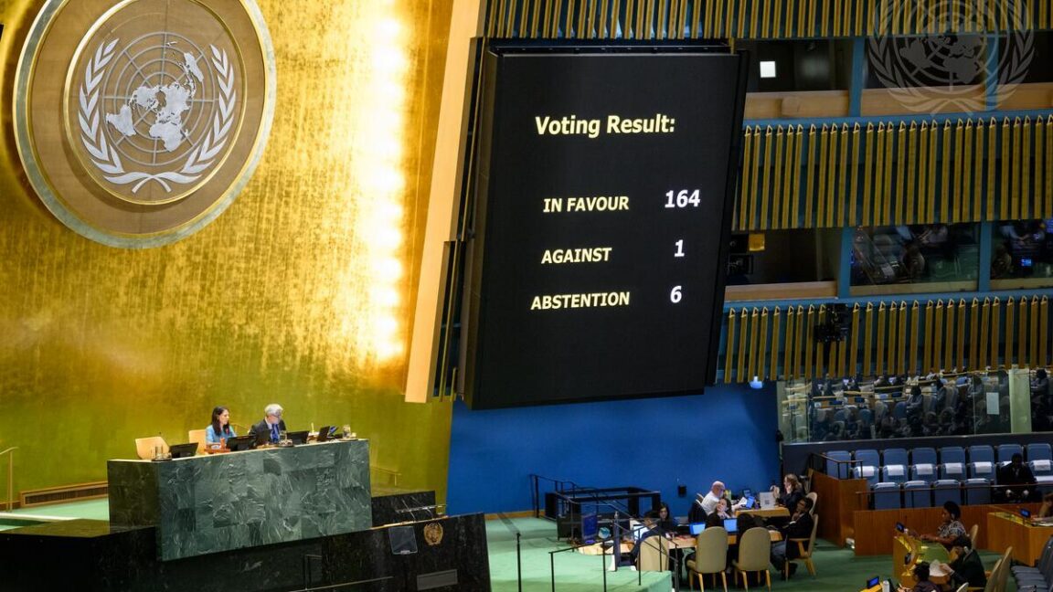
The African-led resolution, passed on September 4, garnered 164 votes in favor, with six nations abstaining. The United States stood as the sole opponent, describing the initiative as a "radical ideological project." This clash highlights the tension between geographical accuracy and the political implications of how the world is visualized.
Why This Matters
BozokMedia analysis shows that this debate extends beyond cartography into the realm of psychological perception. For centuries, the Mercator map has subconsciously reinforced a Eurocentric view of global importance. However, from a software engineering perspective, the Mercator projection is indispensable for navigation apps. Its ability to preserve angles and straight lines (rhumb lines) makes it the only viable option for real-time zooming and routing in digital interfaces.
"Cartography is the art of compromise; you cannot flatten a sphere without sacrificing either area or direction."
The non-binding resolution encourages governments, educational institutions, and tech giants to adopt the 'Equal Earth' projection when relative size is the primary focus. It also emphasizes the need for curricula to teach the inherent trade-offs involved in depicting a 3D planet on a 2D surface.
| Feature | Mercator Projection | Equal Earth Projection |
|---|---|---|
| Area Accuracy | Highly Distorted | Accurate |
| Navigation Utility | Excellent (Preserves angles) | Limited |
| Primary Use Case | Google Maps, Marine Charts | Education, Data Visualization |
Frequently Asked Questions
1. Will my navigation apps update to the new map?
Unlikely. The resolution is non-binding, and Mercator remains technically superior for street-level navigation.
2. Why did the US oppose the resolution?
The US government viewed the push for equal-area maps as a politically motivated ideological shift rather than a purely scientific one.


