Meteorologists have issued a First Alert for severe storm activity scheduled for this afternoon. Active weather systems are being tracked across multiple regions, posing potential risks.
Key Takeaways
- First Alert issued for severe storm activity this afternoon.
- Meteorologists are tracking active systems across 21 states/regions.
- Potential for heavy rain, lightning, and high winds.
FORT WAYNE, Ind. — Meteorologist Noah Gordon is closely monitoring an increasingly active weather pattern that is expected to impact several regions this afternoon. The 'First Alert' designation underscores the potential severity of the incoming storms, which could bring significant disruptions to daily activities.
Tracking the Storm Activity
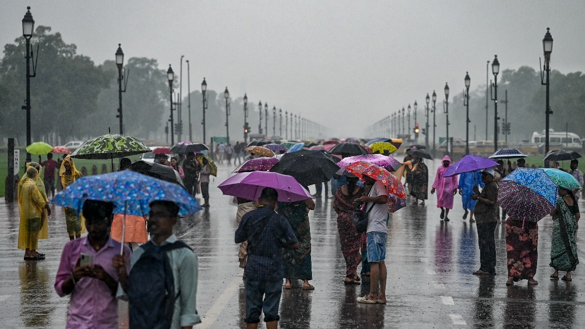
The current meteorological data suggests that atmospheric instability is rising, setting the stage for intense thunderstorm development. Residents in the path of these systems should prepare for sudden shifts in weather, including heavy downpours and gusty winds. WPTA reports that the tracking is ongoing as the system moves through the affected zones.
Why This Matters
BozokMedia analysis shows that sudden-onset severe weather events require immediate public attention to minimize risks to property and personal safety. Rapidly developing storms can catch commuters off guard, leading to hazardous driving conditions and power outages.
"The rapid intensification of these storm cells necessitates immediate vigilance from the public."
Historically, these afternoon storm cycles in the Midwest often result from localized heating combined with moisture-rich air masses, leading to unpredictable and violent weather bursts.
Frequently Asked Questions
Question 1: What should I do during a severe storm alert?
Answer: Stay indoors, move away from windows, and keep an eye on local weather updates.
Question 2: How long will the storm activity last?
Answer: While the peak is expected this afternoon, the duration depends on the movement of the active weather cells.