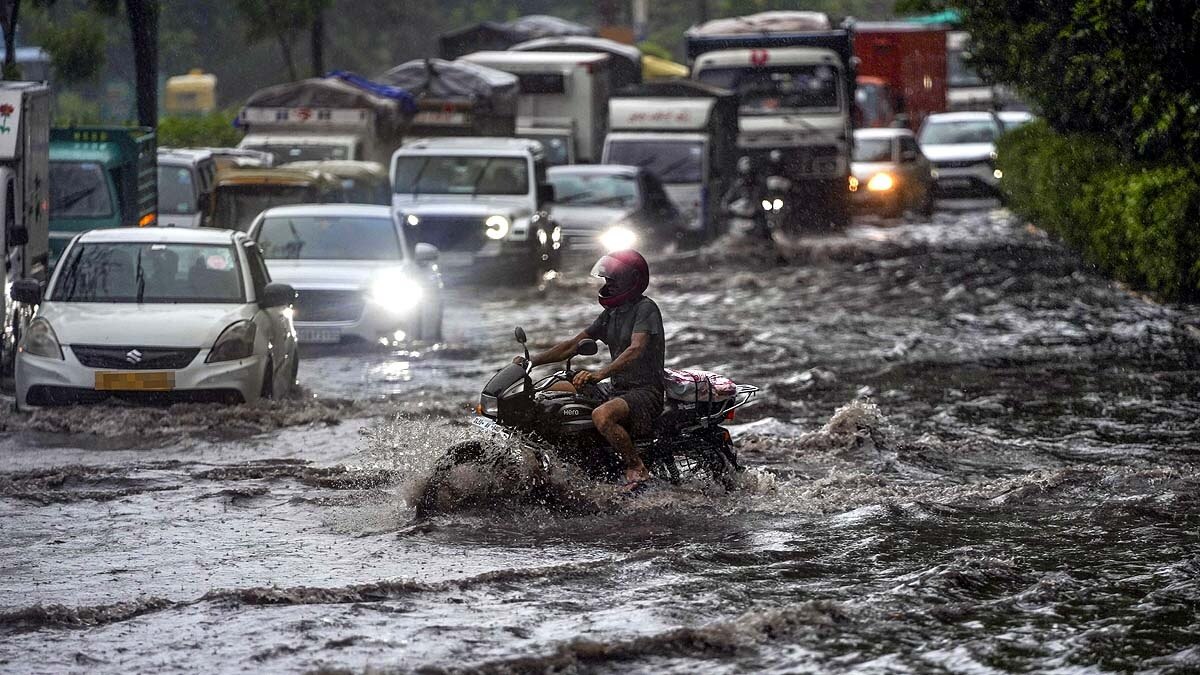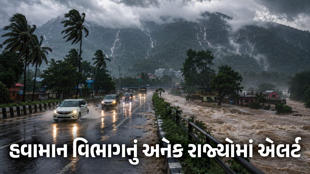
A succession of low-pressure systems developing in the Bay of Bengal is set to intensify the monsoon across India through late August. These systems aim to mitigate the existing rainfall deficit.
Key Takeaways
- Multiple low-pressure systems are brewing in the Bay of Bengal.
- East, Central, and North India are expected to see increased rainfall in the next 15 days.
- The new weather systems could help offset the August rainfall deficit.
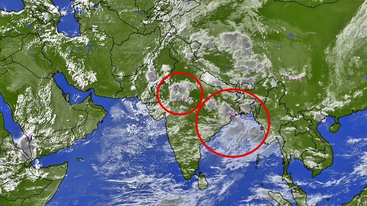
India's monsoon is bracing for a significant surge in activity during the second half of August. According to meteorological outlooks, a series of low-pressure systems and potential depressions developing over the Bay of Bengal will act as moisture engines, pumping heavy rain into the mainland. This activity is expected to persist through the end of the month, specifically peaking around August 27-30.
The impact will be most pronounced in Eastern, Central, and Northern India. States including Uttar Pradesh, eastern Madhya Pradesh, Chhattisgarh, Odisha, Jharkhand, Bihar, and West Bengal are on high alert for frequent and widespread precipitation. The movement of these systems inland will be crucial in determining the overall rainfall pattern for the remainder of the season.
Why This Matters
BozokMedia analysis shows that the performance of the monsoon in August is a critical factor for India's agricultural stability. While some regions have seen adequate rain, others are struggling with a deficit. The strength and trajectory of these upcoming systems will decide whether India avoids a significant rainfall shortfall for the month.
The success of the August monsoon now hinges on the intensity of the systems emerging from the Bay of Bengal.
A complicating factor remains the presence of an unfavourable El Nino environment. El Nino can disrupt the standard atmospheric circulation, potentially dampening the effectiveness of these low-pressure systems. However, the current forecast suggests a sustained monsoon spell rather than a dry phase, providing much-needed relief to rain-deficient zones.
Historical Background
Historically, the Bay of Bengal has served as the primary driver for the Indian monsoon. The development of successive depressions in this region has often been the deciding factor in whether a monsoon season meets its long-term average or falls into a deficit.
Frequently Asked Questions (FAQ)
1. Which states will receive the most rainfall?
The most significant rainfall is expected in Uttar Pradesh, Bihar, West Bengal, Odisha, Jharkhand, Chhattisgarh, and parts of Madhya Pradesh.
2. How does El Nino affect the monsoon?
El Nino typically causes warmer ocean temperatures in the Pacific, which can shift wind patterns and lead to reduced rainfall across the Indian subcontinent.