Cleveland residents should prepare for a sweltering, humid Sunday followed by a high risk of severe thunderstorms on Monday. The Storm Prediction Center has issued warnings for the region.
Key Takeaways
- Sunday will see high temperatures in the mid-to-upper 80s with significant humidity.
- A two-round storm system is expected to hit on Monday, with potential for severe weather.
- The Western Region will be the first to experience heavy rain and storm activity.
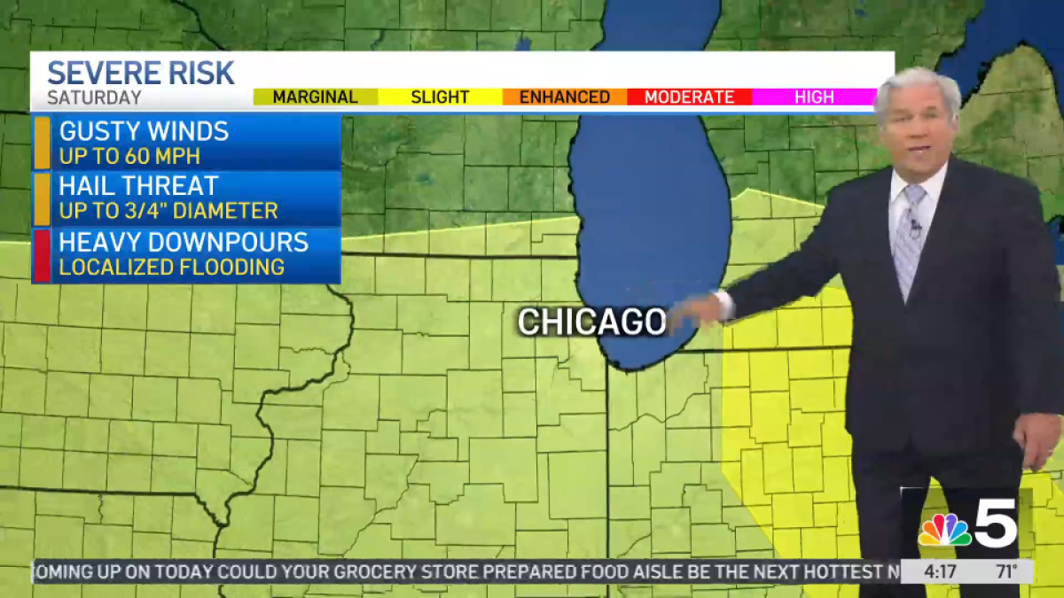
- The Storm Prediction Center has already flagged Monday as a high-risk day for damaging storms.
The upcoming weather pattern for the Cleveland area is set to shift from oppressive heat to volatile storm activity. According to the Power of 5 Weather Team, Sunday will be characterized by high humidity and temperatures reaching the upper 80s. While much of Northeast Ohio will remain dry during the day, the calm is expected to be short-lived.
As Sunday evening approaches, storm activity is forecasted to move into the Western Region first. This serves as a precursor to a much more significant weather event on Monday. Meteorologists are tracking two distinct rounds of storms that could bring damaging winds and heavy rainfall to the area, potentially impacting the start of the work week.
Why This Matters
BozokMedia analysis shows that the transition from high-heat/high-humidity environments to severe convective storms can create hazardous conditions for commuters and outdoor workers alike. The risk of 'damaging storms' mentioned by the Storm Prediction Center necessitates proactive preparation by local residents and businesses.
The transition from a muggy Sunday to a severe storm threat on Monday marks a significant shift in atmospheric stability for the entire Northeast Ohio region.
The 5-day outlook provides a clear trend of cooling temperatures following the storm activity:
| Day | Forecast | High Temp |
|---|---|---|
| Sunday | Mainly dry; storms after sunset | 87°F |
| Monday | Two rounds of severe storms possible | 85°F |
| Tuesday | Lingering thunderstorms | 79°F |
| Wednesday | Light showers and cooler | 77°F |
Frequently Asked Questions
1. When will the storms hit the hardest?
The most significant threat is expected on Monday, with two rounds of storms potentially becoming severe.
2. Which region should be most vigilant?
The Western Region will see the initial impact on Sunday night, but the entire Northeast Ohio area is at risk on Monday.