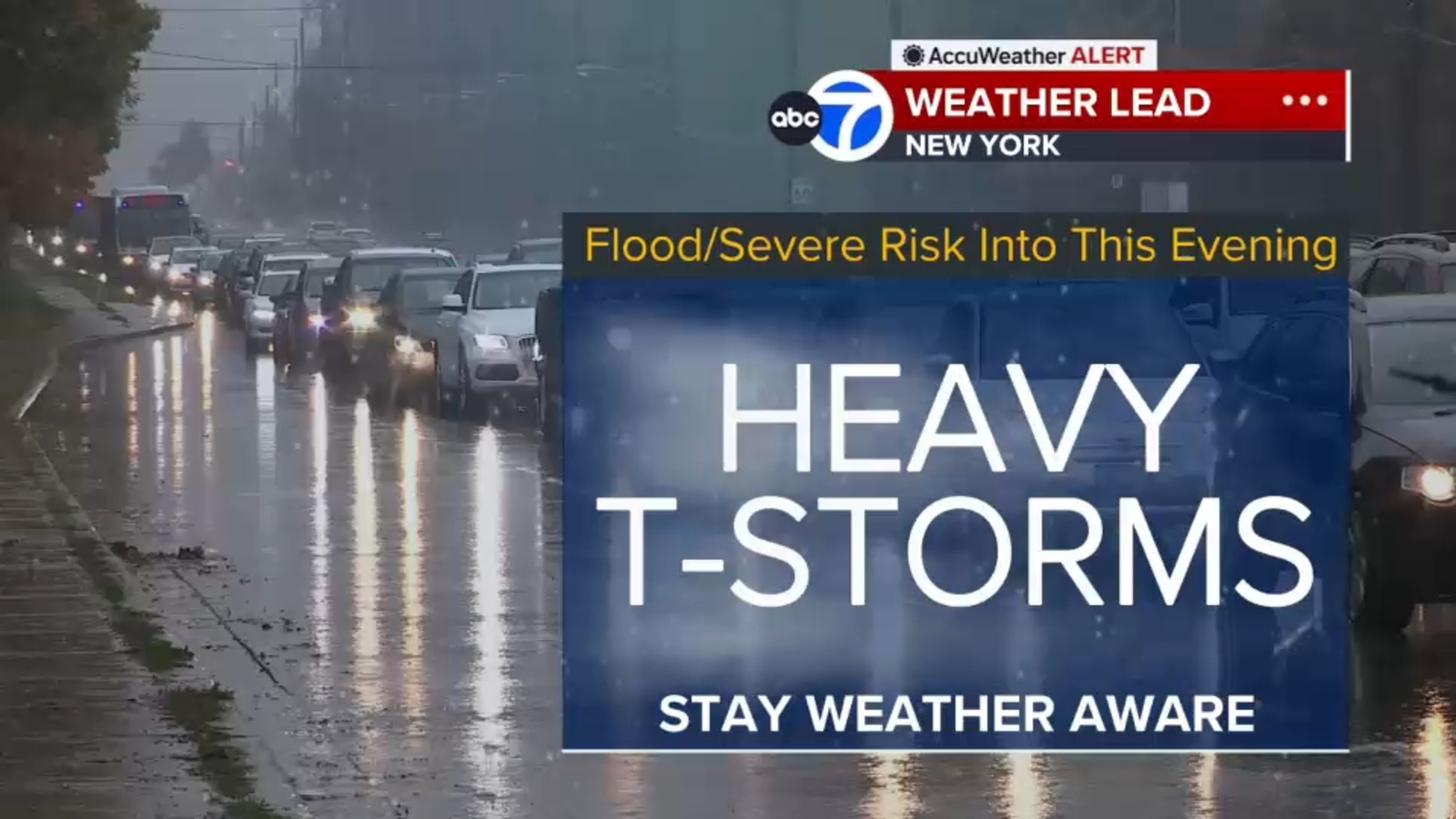
Severe weather is sweeping through the Tri-State area, bringing flash flood warnings, storm watches, and potential tornado threats to New York and New Jersey.
Extreme weather conditions are currently impacting the Tri-State area, with meteorologists issuing urgent flash flood warnings and storm watches. Thunderstorms moving through New York City, New Jersey, and Long Island are expected to produce heavy downpours, gusty winds, and the potential for isolated tornadoes.
Earlier this evening, a Tornado Warning was issued for Nassau County and Queens, though these alerts have since expired. However, the threat remains high as a Flash Flood Warning has been extended for significant portions of New York City and parts of New Jersey. A broad Flood Watch remains in effect for much of the region.
Why This Matters
BozokMedia analysis shows that these rapid-onset weather events pose a significant risk to the metropolitan transit infrastructure. As seen at Penn Station, where rainwater has begun flooding train platforms, even short bursts of intense precipitation can paralyze urban movement and disrupt the daily lives of millions.
The intensification of storms during peak commuting hours creates a high-risk environment for both drivers and commuters.
Commuters are advised to exercise extreme caution. The heavy rainfall is expected to intensify during the evening rush hour, leading to slow-moving traffic and potentially hazardous road conditions. National Weather Service alerts suggest staying tuned to live radar updates.
Historical Background
The Tri-State area has increasingly faced severe weather patterns linked to shifting climatic conditions. Urban flooding in New York has become a recurring issue, highlighting the vulnerabilities of aging infrastructure in the face of modern, high-intensity storm cells.
Frequently Asked Questions
1. Are the tornado warnings still active?
The specific warnings for Nassau and Queens have expired, but severe thunderstorm watches remain in effect.
2. How can I track the storm in real-time?
It is highly recommended to use AccuTrack Radar or local news updates for live weather monitoring.
