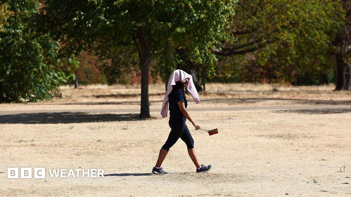
Despite heavy rain forecasts for this week, long-range models suggest a significant risk of another heatwave in September due to dry soil and rising sea temperatures.
The weather in the United Kingdom is currently undergoing a volatile transition. While many residents are experiencing the first significant rainfall in months, long-range meteorological forecasts are hinting at a surprising comeback for the heat. Experts suggest that following this week's unsettled weather, a potential sixth heatwave of the year could develop in September.
This week, heavy showers and thundery weather are expected to lash Scotland, Northern Ireland, and northern England. In England and Wales, slow-moving downpours could lead to flash flooding in certain areas. However, these showers may not be sufficient to alleviate the severe drought currently affecting two-thirds of England and the entirety of Wales.
Why This Matters
BozokMedia analysis shows that the intersection of extreme drought and rising marine temperatures creates a perfect storm for temperature spikes. The lack of soil moisture means that solar energy is no longer being used to evaporate water, but is instead directly heating the atmosphere, leading to rapid temperature rises.
The combination of bone-dry soil and unusually warm seas significantly amplifies the risk of early autumn heatwaves.
Data indicates that sea surface temperatures around the UK are currently up to 3°C above average. This thermal energy from the ocean acts as a reservoir, keeping land temperatures higher than usual. Furthermore, high-pressure systems expected in early September could draw warmth from continental Europe, further boosting temperatures.
Historical Background
The summer of 2026 has been nothing short of exceptional. The Met Office has indicated that this could become the hottest summer on record. The meteorological summer officially ends on August 31st, marking the transition into autumn, a period that historically presents complex forecasting challenges due to the shifting balance between summer warmth and winter chill.
| Factor | Current Status | Impact on Heat |
|---|---|---|
| Soil Moisture | Extremely Low (Drought) | Increases air temperature rapidly |
| Sea Temperature | 3°C Above Average | Maintains higher land temperatures |
| Atmospheric Pressure | High Pressure Expected | Brings dry, sunny, and hot spells |
Frequently Asked Questions
1. Is a September heatwave guaranteed?
No, it is not a certainty, but the Met Office notes the risk is 'higher than normal' for the first half of the autumn period.
2. Will the current rain end the drought?
Current indications suggest that a few days of rain will not be enough to saturate the soil and end the drought conditions in England and Wales.

-1787550507865_v.webp)