A powerful monsoon system has lashed Kanpur, recording a massive 136mm of rain within just 48 hours. Meteorological experts predict heavy downpours to continue for the next five days.
- Kanpur recorded a total of 136mm rainfall in the last 48 hours.
- The active monsoon trough and a low-pressure area are driving the intense weather.
- Heavy to very heavy rainfall alerts issued for several districts including Banda and Fatehpur.
- Temperatures have dropped, providing relief from humidity but increasing waterlogging risks.
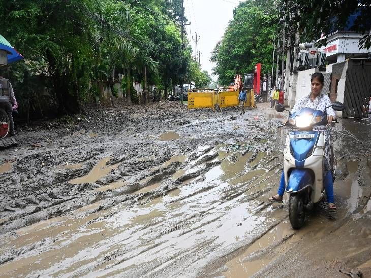
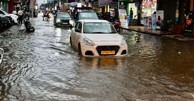
The onset of September has brought intense monsoon activity to Kanpur, with the city witnessing a record-breaking 136mm of rainfall over the last two days. The continuous downpour has led to significant waterlogging in key areas, including the Chawla Market intersection, disrupting local movement and daily routines.
Meteorological experts attribute this intense spell to the Monsoon Trough passing through the region and a low-pressure area situated over northeastern Madhya Pradesh. This trough line extends from Bathinda in Punjab and Rohtak in Haryana, traversing through Hardoi and Kanpur before heading towards the Bay of Bengal via Digha, West Bengal.
Why This Matters
BozokMedia analysis shows that while the rain provides much-needed relief from the scorching heat, the sudden intensity of rainfall poses a severe threat to urban drainage systems. The rapid accumulation of water in metropolitan hubs like Kanpur can lead to long-term infrastructure damage and public health risks due to stagnant water.
The low-pressure system is expected to shift towards southern Uttar Pradesh and northern Madhya Pradesh within the next 24 hours, intensifying rainfall.
Climate data indicates that the maximum temperature on Tuesday was recorded at 30°C, which is 1.3°C below the seasonal average. However, the relative humidity has surged to a staggering 97%, creating a saturated atmosphere conducive to continuous cloud cover.
Weather Alert: Districts on High Alert
The Meteorological Department has issued warnings for Banda, Chitrakoot, Fatehpur, and Kanpur Nagar, predicting heavy to very heavy rainfall. Additional alerts have been placed on Kannauj, Unnao, Etawah, Auraiya, Jalaun, and Hamirpur for the coming days.
Frequently Asked Questions
1. How long will the heavy rain continue in Kanpur?
Forecasters predict moderate to heavy cloud cover and rainfall will persist for the next five days.
2. Which areas are most at risk of flooding?
Low-lying areas in Kanpur Nagar, Fatehpur, and Banda are currently at the highest risk due to the heavy rainfall warnings.