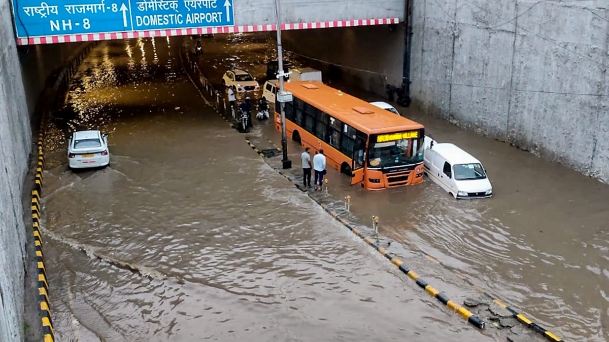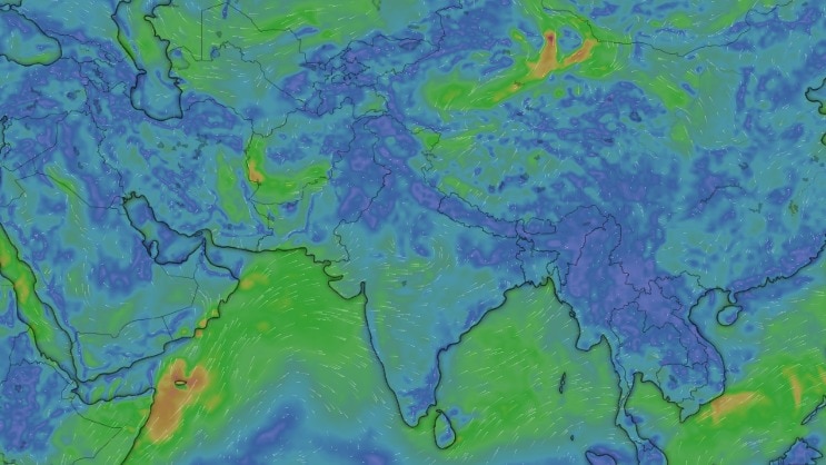
A lingering low-pressure system over central India is triggering heavy to very heavy rainfall across multiple states. From Rajasthan to Delhi and the Northeast, IMD has issued widespread weather warnings.
- A well-marked low-pressure area over central India is driving active monsoon conditions.
- Heavy to very heavy rainfall is predicted for East Rajasthan and West Madhya Pradesh.
- Delhi, Haryana, Punjab, and the Himalayan states are on high alert for heavy showers.
- Thunderstorms with gusty winds are expected in Southern India, including Tamil Nadu and Andhra Pradesh.
The India Meteorological Department (IMD) has issued a significant weather advisory, forecasting heavy to very heavy rainfall at isolated places across several parts of India on Saturday, September 5. This intense activity is being driven by a lingering low-pressure system situated over northern Madhya Pradesh and adjoining south Uttar Pradesh.
Central India Under Intense Rainfall
The weather system is expected to remain nearly stationary for the next 48 hours, significantly impacting the central belt. East Rajasthan and West Madhya Pradesh are at the epicenter of this system, with warnings for heavy to very heavy rainfall. Recent data shows that Orchha in Niwari district recorded a staggering 17 cm of rain, while Khandar in Sawai Madhopur received 13 cm within a 24-hour period.
Why This Matters
BozokMedia analysis shows that stationary low-pressure systems often lead to localized flooding and significant disruptions in transport and logistics. The prolonged nature of this spell means that soil saturation levels are reaching critical points in central India.
The persistence of the monsoon trough over northern and central India suggests that rainfall intensity will remain high for several more days.
Moving towards the north, heavy showers are anticipated in Delhi, Haryana, Chandigarh, and Punjab. The Himalayan belt, specifically Himachal Pradesh and Uttarakhand, will also face widespread rainfall, with Uttarakhand expected to remain drenched through September 10.
Regional Breakdown: Northeast and South India
The monsoon's reach extends to the Northeast, with heavy rain predicted for Assam, Meghalaya, Arunachal Pradesh, and other neighboring states. Meanwhile, in South India, residents in Andhra Pradesh and Tamil Nadu should prepare for thunderstorms accompanied by gusty winds reaching speeds of up to 60 kmph.
| Region | Rainfall Intensity | Expected Duration |
|---|---|---|
| Rajasthan & MP | Heavy to Very Heavy | Through Sept 8 |
| Delhi & NCR | Heavy Showers | Sept 5-6 |
| Uttarakhand | Widespread Rain | Through Sept 10 |
| South India | Thunderstorms/Gusty Winds | Sept 5 |
Frequently Asked Questions
1. Which states are most at risk of heavy rain?
Rajasthan, Madhya Pradesh, and the Himalayan states are currently under the highest alert for heavy rainfall.
2. Will the rain continue in North India?
Yes, while the spell may ease in the northwest after September 5, rain will continue in central and eastern regions.