A developing low-pressure system over Madhya Pradesh and Uttar Pradesh is set to trigger widespread rainfall across Delhi-NCR, Haryana, and Uttarakhand over the coming days.
- A low-pressure system moving from MP and UP is driving fresh monsoon activity.
- Delhi-NCR, Haryana, and Western UP are expected to see heavy showers in the next 24 hours.
- Uttarakhand faces heightened risks of landslides and flash floods due to prolonged wet spells.
North India is bracing for another significant spell of monsoon activity. According to the India Meteorological Department (IMD), a low-pressure system is currently migrating north from Madhya Pradesh and adjoining southwest Uttar Pradesh, setting the stage for widespread precipitation across the northern plains.
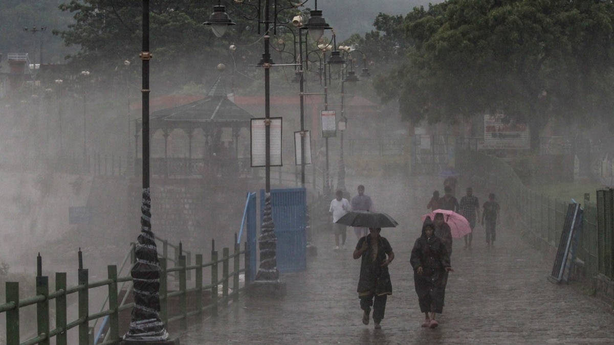
The capital, Delhi, and its surrounding National Capital Region (NCR) are expected to witness cloudy skies and spells of light to moderate rain, with the potential for heavier downpours during the afternoon and evening hours. Similar weather patterns are anticipated in eastern Haryana and parts of western Uttar Pradesh.
Why This Matters
BozokMedia analysis shows that while September typically marks the receding phase of the southwest monsoon, these late-season low-pressure systems can be particularly volatile. For urban centers like Delhi, this often results in immediate logistical challenges, including severe waterlogging and traffic congestion, while for hilly terrains, it poses a direct threat to life and infrastructure.
The interaction between the low-pressure area and the existing monsoon circulation is the primary driver for this renewed intensity.
In the Himalayan state of Uttarakhand, the situation is more critical. Continuous rainfall has already led to rising water levels in major rivers like the Alaknanda and Mandakini. Residents in vulnerable zones are being warned about the heightened risk of landslides and sudden flash floods.
Historical Background
Historically, the transition from the peak monsoon to the retreating phase in India has been characterized by intermittent heavy spells. However, recent meteorological trends suggest that the frequency of intense low-pressure systems during this transition period is increasing, leading to more unpredictable weather patterns.
| Region | Expected Weather | Primary Risk |
|---|---|---|
| Delhi-NCR | Moderate to Heavy Rain | Waterlogging & Traffic |
| Uttarakhand | Widespread Heavy Rain | Landslides & Floods |
| Haryana/UP | Isolated Heavy Spells | Localized Flooding |
Frequently Asked Questions
1. When will the rain subside in the plains?
Rain activity over the plains is expected to gradually ease starting from September 6, though localized showers may continue.
2. Is it safe to travel to Uttarakhand right now?
Travelers are advised to exercise extreme caution and monitor local weather advisories due to the high risk of landslides.