The Calcutta High Court has ruled that documentary evidence alone is insufficient to determine property encroachment, ordering a scientific local investigation to bridge the gap between paper titles and ground reality.
- Calcutta HC ruled that sale deeds cannot accurately reflect physical encroachments or overlapping boundaries.
- The court overturned a trial court's decision that had rejected the appointment of a survey commissioner.
- A directive was issued to complete the long-pending trial within six months using scientific measurements.
The Calcutta High Court recently delivered a landmark observation, stating that oral testimony and decades-old documents are insufficient to capture ground-level realities in encroachment disputes. Justice Uday Kumar, while presiding over the case, questioned the logic of measuring a narrow passage solely through the lens of a sale deed, emphasizing that a survey commission is essential to bridge the gap between "paper title" and "physical reality".
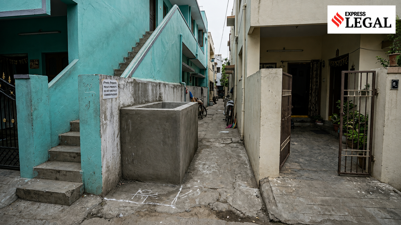
The dispute centered around a woman who inherited a property and claimed that a 'common passage' at the north-east corner was her sole point of entry and exit. She alleged that the defendants had encroached upon this passage by constructing an unauthorized water reservoir, effectively blocking her access. Despite these claims, the trial court had previously dismissed her plea for a survey, stating that documentary evidence was sufficient to decide the existence of the passage.
Why This Matters
BozokMedia analysis shows that this ruling addresses a systemic flaw in civil litigation where static documents are often pitted against evolving physical landscapes. By prioritizing scientific surveys over subjective oral evidence, the court is moving toward a more empirical approach to justice, ensuring that "inch-by-inch" encroachments—which are invisible on paper—are legally recognized.
Representing the petitioner, advocates Jayanta Kr Mondal and Sayantan Rakshit argued that a survey-knowing commissioner acts as the "eyes and ears" of the court. They contended that shutting out scientific investigation in an encroachment case undermines the very root of a fair trial, as physical objects like walls and drains have fixed geographical locations that documents cannot map in real-time.
"How can a court measure a 3-foot passage or determine if an inch-by-inch encroachment has occurred merely by reading a 1982 sale deed?" - Justice Uday Kumar.
The High Court also expressed frustration over the "agonisingly slow progress" of the case, noting that it had been languishing at the pre-trial threshold for nearly a decade. The court remarked that while procedural laws should not be used to cause delays, the remedy for such delays cannot be the outright denial of vital scientific evidence.
| Basis | Documentary Evidence | Scientific Survey |
|---|---|---|
| Nature | Legal Ownership (Paper Title) | Spatial Coordinates (Physical Reality) |
| Accuracy | Historical boundaries | Current precise measurements |
| Limitation | Cannot show physical shifts/encroachments | Identifies exact physical obstructions |
Frequently Asked Questions
1. Can a property case be decided solely on a sale deed?
While a sale deed proves ownership, the Calcutta HC has ruled that it cannot prove whether that ownership has been physically encroached upon by another party.
2. What is the role of a Survey Commissioner?
A Survey Commissioner is a court-appointed professional who conducts a local investigation, takes precise measurements, and submits a scientific report on the physical features of the site.