Radar satellite imagery pinpoints Mumbai’s recurring flood zones, showing that geography, clogged drains and high tides keep the city underwater each monsoon. The analysis by India Today’s OSINT team uses ESA’s Sentinel‑1 data to map the problem areas.
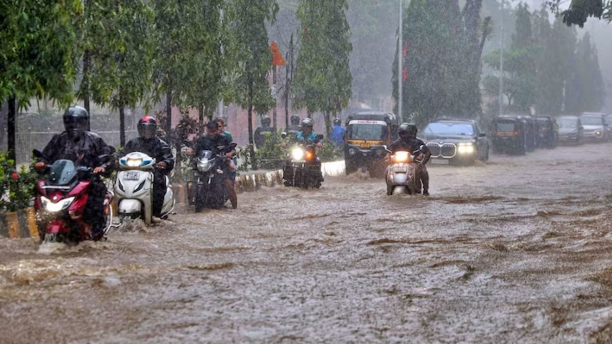
Heavy rain on July 7‑8, 2026 once again brought India’s financial capital to a standstill. Roads disappeared under muddy water, suburban trains slowed or halted, flights were delayed, and millions of commuters were stranded. India Today’s Open Source Intelligence (OSINT) team turned to European Space Agency’s Sentinel‑1 radar satellite images to understand why the same pockets flood every monsoon.
How Radar Imagery Was Used
The team compared dry‑season water patterns from Jan 1‑7 with satellite data captured during the July 5‑8 rain spell. Newly‑accumulated water was marked as potential inundation zones. The analysis highlighted clear flood signatures around Vikhroli, Powai, Bhandup, Andheri, Chakala, Jogeshwari, Malad and parts of the Aarey‑Goregaon belt—areas that experience chronic road‑waterlogging and commuter disruption year after year.
Geography, Drainage and Tidal Influence
Within the city, the Mithi, Dahisar, Poisar and Oshiwara rivers swell rapidly during intense showers, especially when drains are clogged, channels silted up, or floodplains narrowed. In the wider Mumbai Metropolitan Region, larger systems such as the Ulhas, Vaitarna and the Tansa basin react sharply to monsoon rains across Thane, Palghar and the northern Konkan belt. When these swollen rivers meet high tide, poor drainage and rapid urban runoff leave water with nowhere to go, causing the familiar pattern of rising rivers, overflowing nullahs, and backed‑up creeks.
Why Radar Data Matters
Sentinel‑1’s radar‑based, all‑weather, day‑and‑night imaging allowed India Today to map surface‑water changes even under cloud‑covered skies. Permanent water bodies, creeks and known wetlands were masked out to avoid false positives, and the remaining signatures were cross‑checked with Google Earth basemaps, pre‑monsoon water layouts and media‑reported water‑logging spots.
Implications for Urban Planning
The composite flood footprint shows that Mumbai’s problem is not merely a volume‑of‑rain issue. It is a combination of bowl‑shaped low‑lying topography, dense concrete cover, aging storm‑water drains, encroached natural channels and tidal backflow. Experts argue that satellite‑based monitoring should become a core component of the city’s flood‑risk management, paired with accelerated drain cleaning, expanded pumping capacity, and strict zoning that prevents new construction in identified flood‑prone corridors.