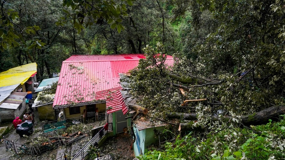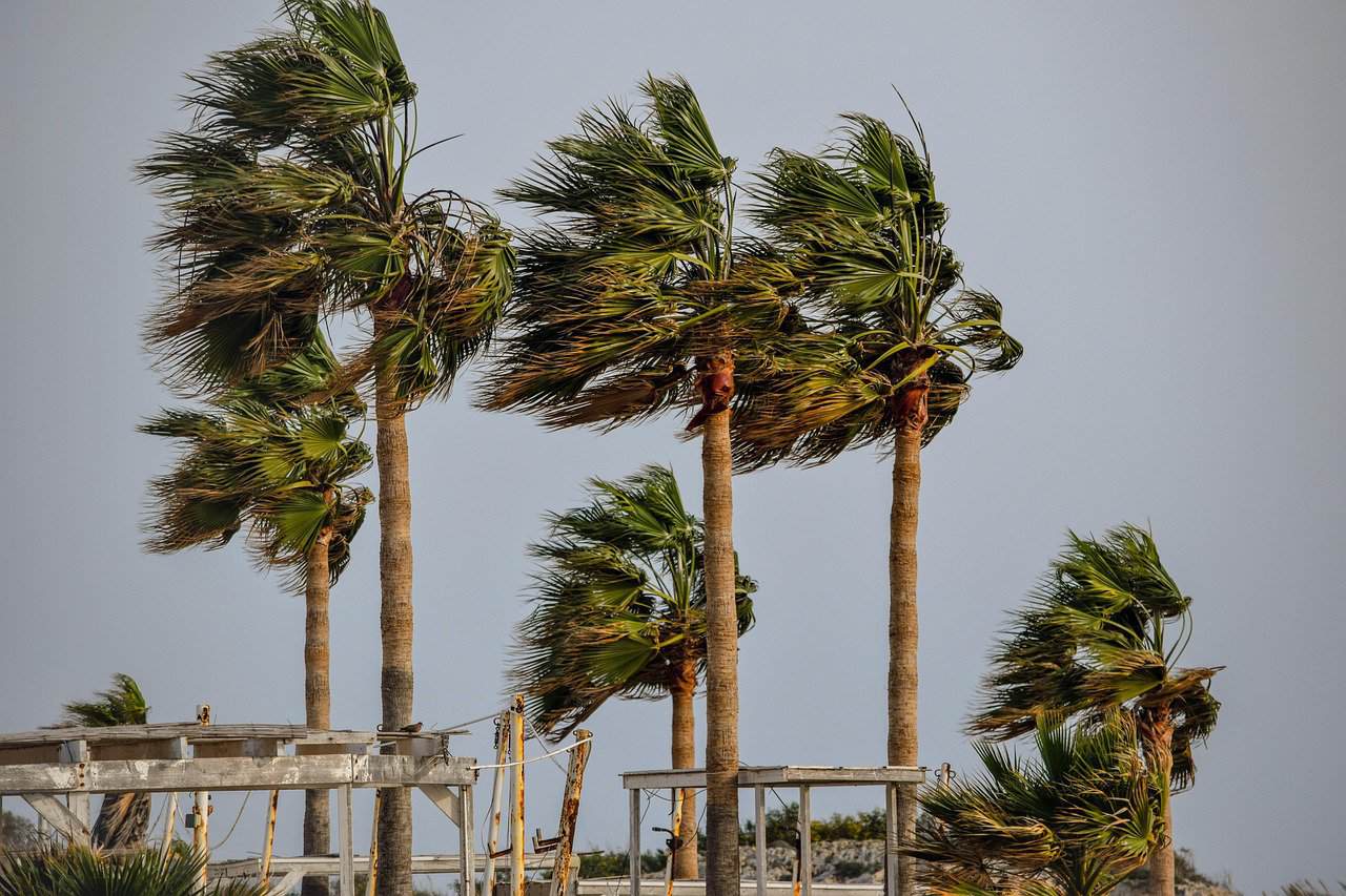
A tropical wave is set to bring intense rainfall and gusty winds to Costa Rica's Caribbean and Northern zones this Tuesday, raising landslide risks.
Key Takeaways
- Tropical Wave #24 will bring heavy rain to Caribbean and Northern zones on Tuesday.
- High risk of landslides and road flooding due to already saturated soil.
- The Pacific coast remains drier, hotter, and more stable.
- Travelers should expect delays on major routes like Ruta 32 and domestic flights.
Costa Rica is bracing for a volatile weather pattern this week. While Monday starts with windy and humid conditions, the real impact is forecasted for Tuesday. A tropical wave moving through the region is expected to trigger heavy precipitation, particularly hitting the Caribbean coast and the Northern Zone hardest.
Meteorologists warn that the situation is more precarious than a typical rainy day. The soil in the Caribbean regions is already heavily saturated from previous weather systems earlier this month. Consequently, the ground has little capacity to absorb additional moisture, significantly increasing the threat of ponding on roads and dangerous landslides on mountain slopes.
Why This Matters (इसके मायने क्या हैं)
BozokMedia analysis shows that this weather event poses a direct threat to both public safety and the national logistical network. The San José–Limón highway (Ruta 32), a vital artery for commerce, is highly susceptible to fog, reduced visibility, and rockfalls during such intense rain cycles.
For the economy, disruptions in domestic aviation—especially in remote areas like Tortuguero and Limón—could impact tourism and local supply chains. Residents and travelers are advised to prioritize safety over schedule, treating Tuesday as a day for high flexibility.
Saturated terrain combined with intense tropical waves creates a high-risk environment for geological instability.
For those seeking sun, the Pacific side remains the reliable choice. Areas like Guanacaste and the Nicoya Peninsula are expected to stay hotter and drier, though Saharan dust drifting over Central America may contribute to increased haze and higher temperatures.
Historical Background
Costa Rica's geography creates distinct microclimates. The interaction between tropical waves from the Atlantic and the mountainous terrain often results in extreme weather disparities between the Caribbean and Pacific coasts. This phenomenon is a recurring seasonal challenge for the country's infrastructure management.
| Region | Expected Weather | Travel Advisory |
|---|---|---|
| Caribbean & Northern Zone | Heavy Rain & Gusts | Avoid non-essential travel |
| Pacific Coast | Hot, Dry & Sunny | Normal activities; watch for haze |
| Central Valley | Drizzle & Overcast | Exercise caution on mountain routes |
Frequently Asked Questions (अक्सर पूछे जाने वाले प्रश्न)
1. Which areas are most at risk on Tuesday?
Limón, Puerto Viejo, Cahuita, Tortuguero, and the northern lowlands are high-risk areas.
2. How will this affect domestic flights?
Expect potential delays or cancellations, especially for morning flights in wet regions due to gusty winds.