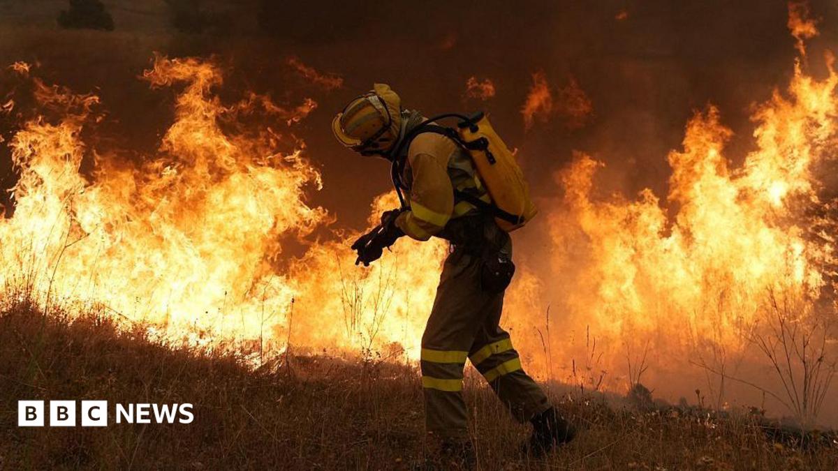
As Europe battles devastating wildfires, Australia is providing a blueprint for survival by combining cutting-edge satellite technology with millennia-old Indigenous ecological knowledge.
Key Takeaways
- Australia integrates satellite imagery, drones, and AI with Indigenous ecological expertise.
- The 'Cool Fire' technique prevents massive fuel buildup through controlled burns.
- Indigenous knowledge provides ground-level verification of satellite data.
- This hybrid approach shifts management from reaction to proactive anticipation.
As Europe grapples with its most severe wildfire season in decades, the eyes of the world are turning toward Australia. Having endured the catastrophic 'Black Summer' fires of 2019-20, Australia has pioneered a unique survival strategy: blending high-tech surveillance with the ancestral wisdom of its Indigenous peoples.
From Outer Space to the Subsurface
Professor Marta Yebra, head of the Bushfire Research Centre of Excellence, is leading a project that bridges the gap between space and soil. While satellites can detect 'fuel moisture content' from orbit, this data often lacks local context. This is where Indigenous experts like Adrian Webster step in.
Why This Matters
BozokMedia analysis shows that the true revolution in disaster management lies in 'contextualizing data.' Satellite imagery identifies potential risk zones, but Indigenous ecological knowledge—reading plant scents, colors, and even subsurface moisture—turns that data into a precise, actionable map for firefighters.
"She had all this amazing data, but there was no translation to what it meant on the ground... through an Indigenous perspective, it was a map that could guide you directly into a place that is ready to burn."
Fighting Fire with Fire
One of Australia's most effective tools is 'Cultural Burning.' Unlike the uncontrolled blazes seen in Europe, Indigenous communities use 'cool fires'—small, controlled burns that clear out dry undergrowth. This prevents the massive accumulation of fuel that leads to uncontrollable mega-fires.
| Feature | Modern Technology | Indigenous Wisdom |
|---|---|---|
| Primary Tools | Satellites, Drones, AI | Ecological Observation, Soil Analysis |
| Methodology | Remote Sensing & Detection | Ground-level Environmental Reading |
| Core Objective | Rapid Response | Risk Anticipation & Fuel Management |
Frequently Asked Questions
1. What is the difference between a wildfire and a 'cool fire'?
A wildfire is an uncontrolled, high-intensity blaze, whereas a 'cool fire' is a small, controlled burn used to manage vegetation and reduce fuel loads.
2. How can satellite data be improved?
By integrating satellite data with ground-level observations from local experts, the accuracy of fire risk prediction increases significantly.

