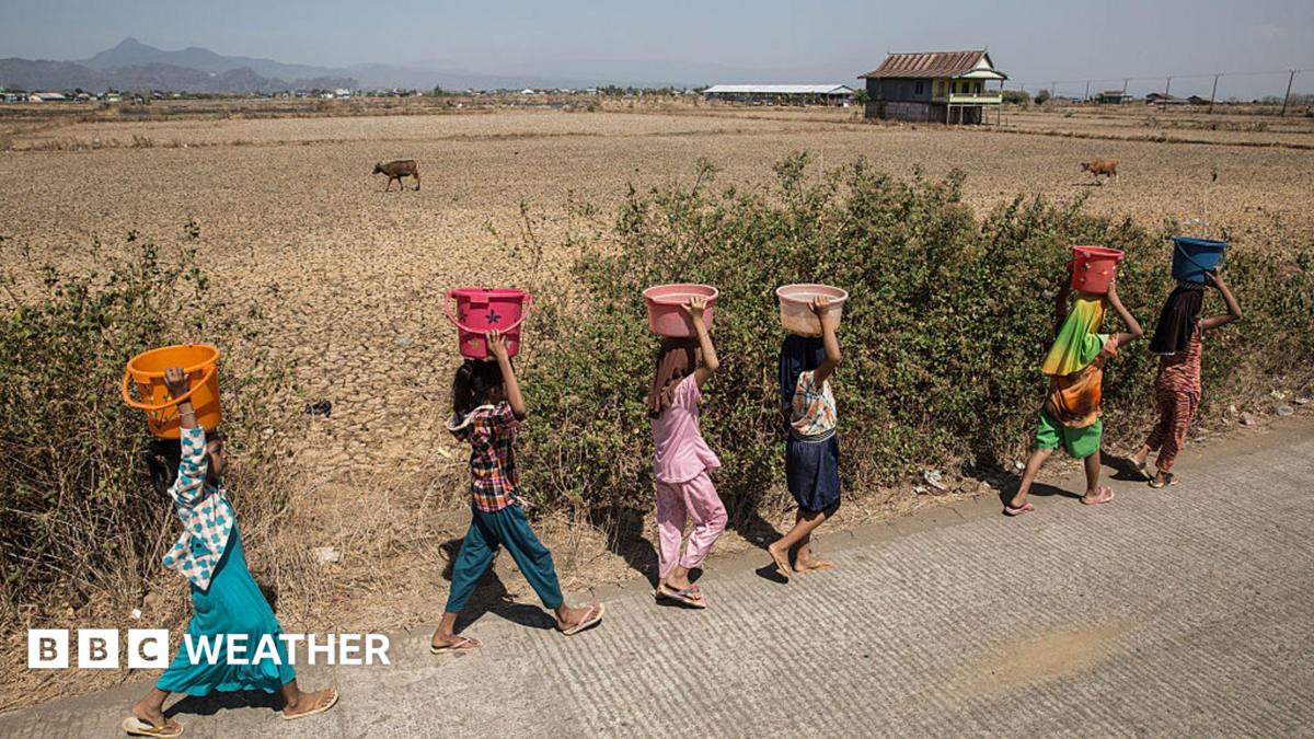
The Met Office warns that the developing El Niño pattern is an unprecedented event that could push 2027 to become the hottest year on record.
- The current El Niño event is expected to be the strongest since the 19th century.
- Global temperatures are projected to hit record highs, with 2027 likely being the hottest year.
- Extreme weather, including droughts in Australia and floods in South America, is imminent.
The El Niño phenomenon developing over the Pacific Ocean is set to become the most intense event in living memory, according to a stark warning from the Met Office. This powerful natural climate pattern is not just shifting weather; it is supercharging global temperatures and escalating the risk of catastrophic extreme weather events worldwide.
When combined with the ongoing effects of human-induced climate change, scientists are warning that 2027 is "very likely" to surpass all previous records to become the hottest year ever documented. Current measurements show sea surface temperatures are already well over 2°C above normal, with forecasts suggesting they could exceed 3°C as the event peaks.
Why This Matters
BozokMedia analysis shows that the implications of this event extend far beyond oceanic temperatures. The redistribution of heat across the ocean disrupts atmospheric wind patterns, creating a domino effect on global agriculture, food security, and disaster management. The UN's Food and Agriculture Organization has already warned of potential acute food insecurity for tens of millions.
"I have never seen an El Niño signal this intense in our forecasts," said Prof. Adam Scaife, head of long-range forecasting at the UK Met Office.
The global impact is already becoming visible. In India, monsoon rains have been below average, while the Atlantic Ocean has seen suppressed hurricane activity. Conversely, regions near the tropical Pacific, such as Australia, face heightened risks of drought and bushfires, while Peru and the southern United States face increased flooding threats.
Historical Background
El Niño is a naturally occurring cycle that typically recurs every two to seven years. It occurs when the trade winds that normally blow east-to-west across the Pacific weaken, allowing warm water to surge eastward. While El Niño is a regular part of Earth's climate, the current intensity—fueled by deep ocean temperatures being up to 8°C above normal at 100m depth—is being compared to events that may not have occurred in 500 or even 1,000 years.
| Region | Expected Weather Impact |
|---|---|
| South Asia (India) | Suppressed Monsoon/Drought |
| Australia | Drought & Bushfires |
| South America (Peru/Ecuador) | Heavy Flooding |
| UK & NW Europe | Wet & Stormy Autumns |
Frequently Asked Questions (FAQs)
1. How does El Niño affect global weather? It shifts rainfall patterns by changing wind directions and releasing ocean heat into the atmosphere, causing extremes like droughts or floods.
2. Why is 2027 mentioned as a record year? The heat released during the winter peak of an El Niño often leads to a significant spike in global average temperatures in the following calendar year.