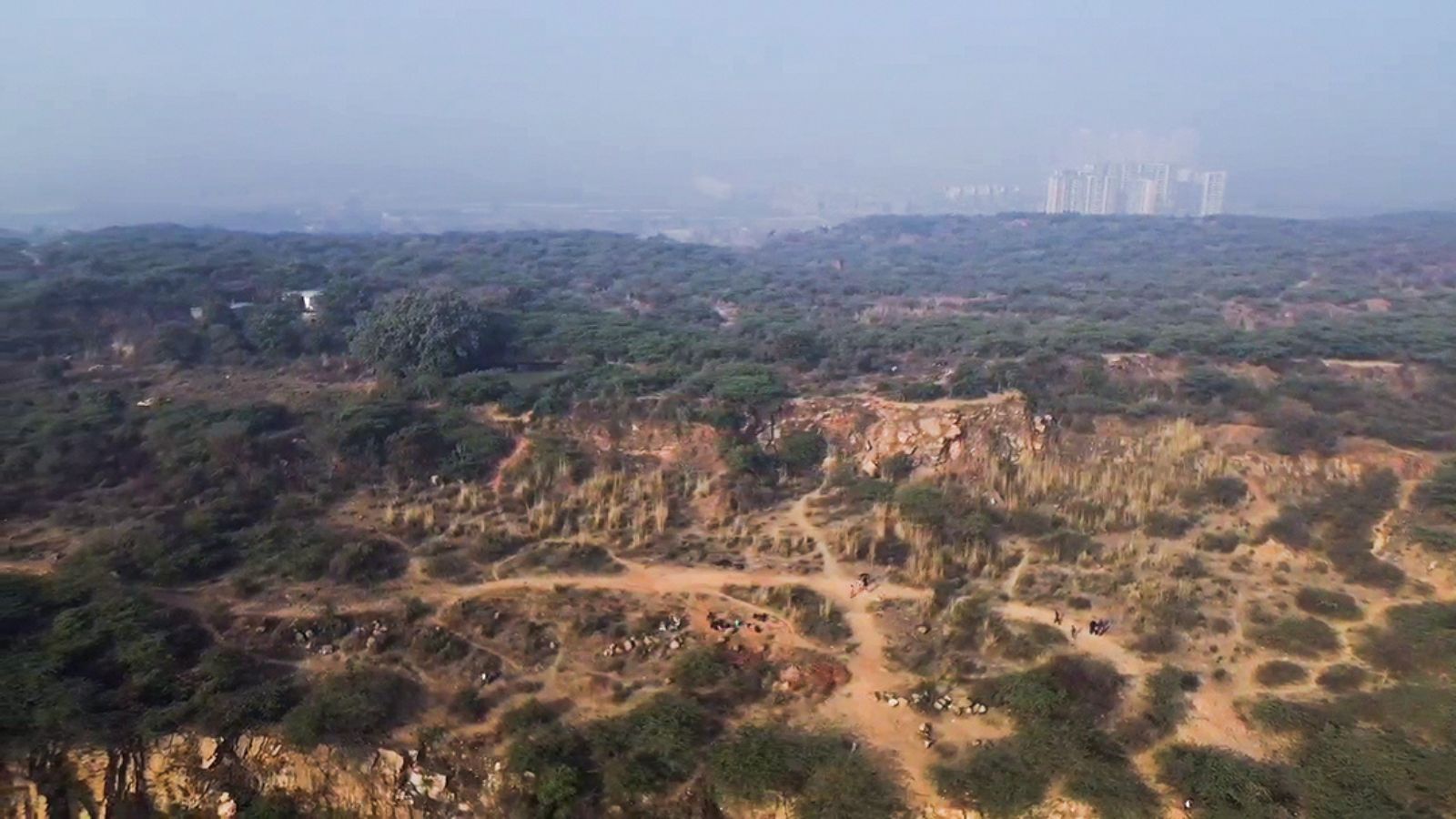
A Supreme Court-appointed High-Powered Committee has requested an extension until February 2027 to develop a scientific 'Aravalli Ecosystem Landscape' framework, moving away from simple terrain-based definitions.
- The HPC proposed an 'Aravalli Ecosystem Landscape' to map interconnected systems.
- The committee sought an extension until February 28, 2027, for a scientific assessment.
- A single 100-meter height threshold could exclude 90% of Aravalli hills.
- The study integrates biodiversity, water systems, and socio-economic factors.
New Delhi: The High-Powered Committee (HPC) constituted by the Supreme Court has cautioned against premature area estimates for the Aravalli range, stating that the hills cannot be scientifically delineated using a single terrain-based yardstick. Instead, the committee has proposed a comprehensive 'Aravalli Ecosystem Landscape' framework.
In a compliance report submitted on August 31, the HPC sought a six-month extension, until February 28, 2027, to complete a transparent and scientifically defensible assessment. The panel emphasized that treating the Aravallis merely as a collection of individual hills would be a mistake; rather, they must be viewed as an interconnected ecological system encompassing forests, water systems, and biodiversity.
Why This Matters
BozokMedia analysis shows that the definition of the Aravallis is a high-stakes battleground involving mining corporations, local communities, and environmentalists. A flawed definition—such as the controversial 100-meter height threshold—could strip legal protection from nearly 90% of the hills, potentially opening the floodgates for unregulated mining and ecological degradation.
The Aravallis are not just geological formations; they are a vital lifeline for North India's hydrological and ecological stability.
The controversy stems from a previous report that recommended a 100-meter height benchmark. This recommendation was heavily criticized by the Forest Survey of India (FSI) and the Supreme Court's amicus curiae, who noted that such a narrow definition would effectively erase the majority of the range from protected status. In response, the Supreme Court stayed the implementation of the Environment Ministry's previous report in late 2025.
A Scientific and Holistic Approach
To ensure accuracy, the HPC is moving beyond simple elevation models. The committee is utilizing the Copernicus 30-metre digital elevation model and high-resolution CartoDEM data. The proposed framework will integrate several critical layers:
| Factor Type | Included Elements |
|---|---|
| Ecological | Forests, Biodiversity, Wetlands |
| Hydrological | Groundwater-recharge zones, Catchments |
| Socio-Cultural | Sacred sites (Orans), Traditional pastures, Archaeologically significant areas |
The committee has already conducted sample studies in Alwar, Ajmer, and Udaipur. Final results will undergo rigorous validation by premier institutions like the Indian Space Research Organisation (ISRO) and the National Remote Sensing Centre.
Frequently Asked Questions
1. Why is the committee asking for more time?
The committee needs to validate complex datasets and ensure that the definition accounts for socio-economic and ecological interlinkages rather than just height.
2. What is the 'Aravalli Ecosystem Landscape' concept?
It is a proposed framework that treats the entire range as a connected system of ridges, forests, and water catchments rather than isolated hills.


