India has issued a stern warning to the United Nations regarding the new global map, stating that any misrepresentation of Jammu & Kashmir and Ladakh will not be tolerated.
- India has formally objected to the incorrect depiction of Jammu & Kashmir and Ladakh in the UN's new map.
- The Indian government emphasized that its territorial integrity must be respected in all international documentation.
- While India voted in support of the UN map updates, it attached a strict condition regarding border accuracy.
New Delhi: In a significant diplomatic move, India has taken a firm stand against the United Nations (UN) regarding the depiction of its territories in the newly released global maps. The Indian government has categorically stated that the misrepresentation of Jammu & Kashmir and Ladakh is unacceptable and must be rectified to align with India's official maps.
The controversy emerged following updates to the UN's geographical data, which allegedly showed inaccurate borders for the Union Territories of Jammu & Kashmir and Ladakh. While India had cast its vote in favor of the broad UN map proposals, the nation has made it clear that this support is contingent upon the accurate portrayal of its sovereign borders.
Why This Matters
BozokMedia analysis shows that cartographic accuracy is not merely a technicality but a matter of national sovereignty and international recognition. India's proactive stance indicates a shift toward a more assertive foreign policy where territorial integrity is non-negotiable on the global stage.
The accurate depiction of borders is a fundamental aspect of respecting a nation's sovereignty and international legitimacy.
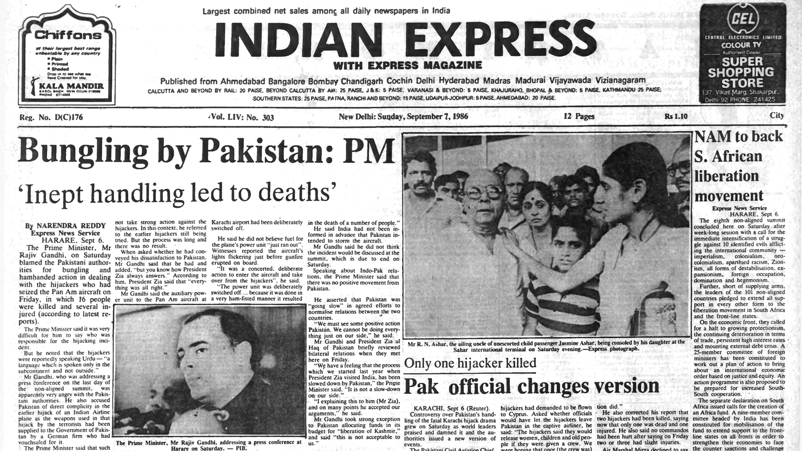
Historical Background: India has a long history of contesting inaccurate maps, both in international forums and through digital platforms like Google Maps. Since the independence and subsequent geopolitical shifts in the region, the status of Jammu & Kashmir has remained a core component of India's national security and foreign policy framework. This recent objection follows a pattern of India demanding that global entities respect its official administrative boundaries.
Geopolitical analysts suggest that as digital mapping becomes more integrated into global governance, the pressure on international bodies like the UN to maintain precise data becomes even more critical. Failure to address these concerns could lead to prolonged diplomatic friction.
Frequently Asked Questions
Question 1: Why did India object to the UN map?
Answer: India objected because the map depicted the borders of Jammu & Kashmir and Ladakh inaccurately compared to India's official maps.
Question 2: Did India oppose the UN's map proposal entirely?
Answer: No, India voted in support of the proposal but insisted on a condition regarding the correct representation of its borders.