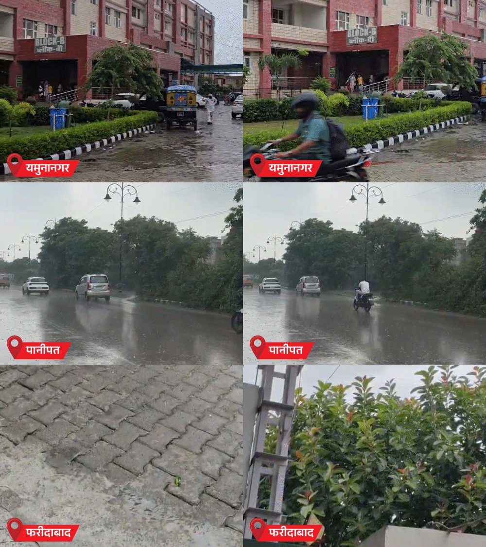
The Indian Meteorological Department has issued a fresh alert as monsoon rains resume across Haryana, bringing a noticeable temperature dip. Forecasts predict continuous heavy showers from July 28‑31 across most districts.
Key Takeaways
- Heavy rain begins in Panipat, Faridabad and Yamunanagar
- Most districts expected to see rain through July 28‑31
- Temperatures dropping by 3‑5°C
IMD Monsoon Alert
The Indian Meteorological Department (IMD) Centre in Chandigarh declared the monsoon active again on Monday. Intense showers are currently drenching Panipat, Faridabad and Yamunanagar, with a clear dip in temperature recorded.
North‑zone districts—Panchkula, Yamunanagar and Ambala—are slated for a full day of good rain, while nine other districts may experience light‑to‑moderate showers.
Four‑Day Detailed Forecast
On July 28‑29, most of Haryana is likely to receive light‑to‑moderate rain, with isolated pockets of heavy to very heavy downpours. The rain‑band is expected to persist on July 30‑31, offering relief to heat‑stressed residents and farmers alike.
Historical Background
Haryana’s monsoon typically sets in mid‑June, but 2024 has seen an early re‑activation, prompting higher-than‑usual water storage. Over the past five years, July’s average rainfall hovers around 180 mm; this year, from June 1 to July 25, only 132.7 mm was recorded—a 24 % shortfall.
Why This Matters
BozokMedia analysis shows that the renewed monsoon activity could stabilize agricultural output in Haryana’s wheat‑producing belts and reduce heat‑related health risks in urban centers.
"An IMD climatologist noted, ‘We anticipate a rise in water tables, which should improve irrigation supplies.’
Frequently Asked Questions
Q1: Will this rain damage crops?
A: Light‑to‑moderate rain will benefit crops, though localized heavy downpours could cause water‑logging.
Q2: What precautions should residents take?
A: Avoid travel during intense showers, steer clear of flood‑prone areas, and keep essential medicines and emergency kits handy.