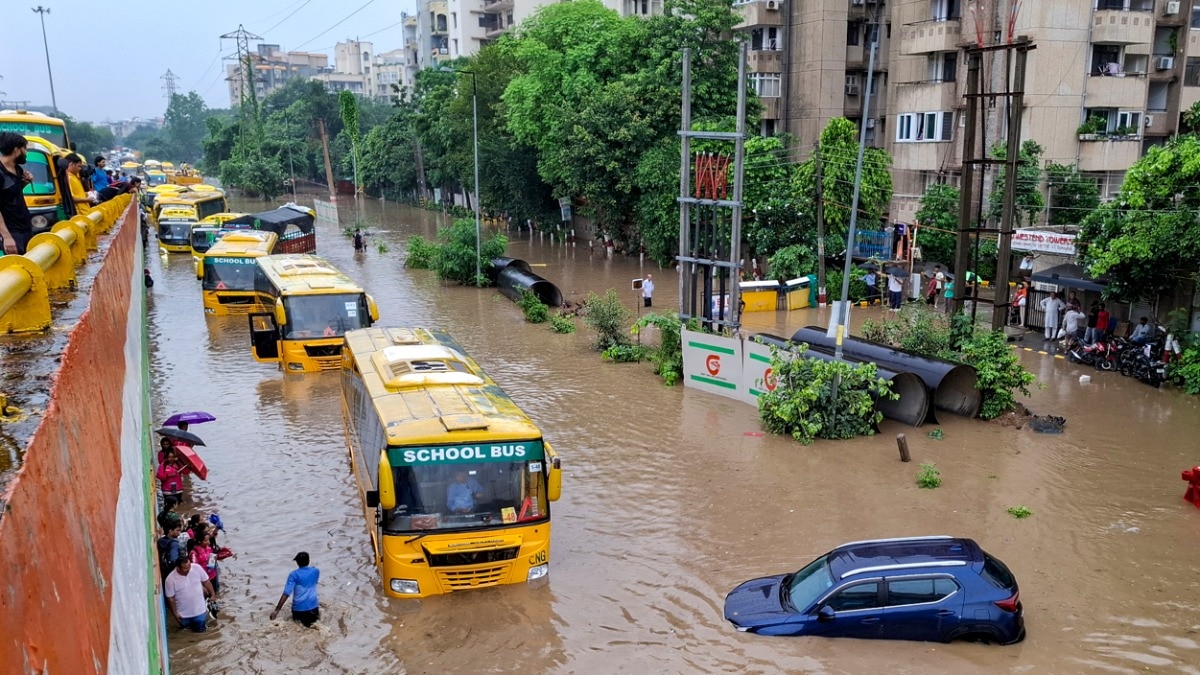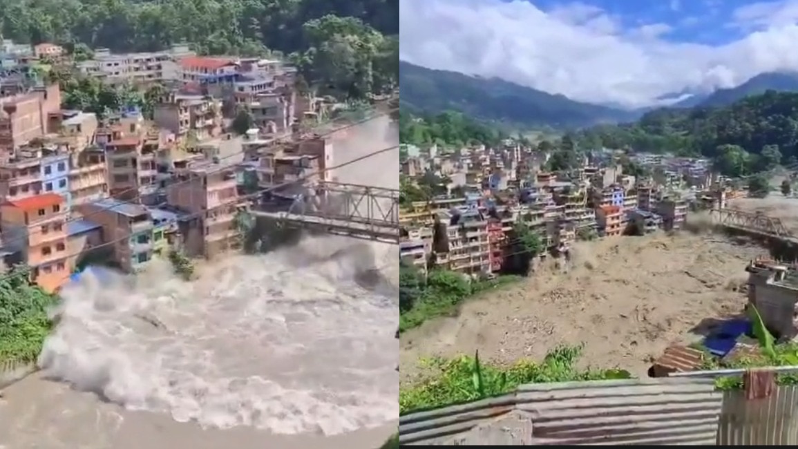
Torrential rains in Nepal have triggered massive flooding, causing widespread destruction and raising fears of inundation in 6 bordering districts of Bihar. The rising water levels in the Kosi, Gandak, and Ganga rivers have put authorities on high alert.
- Massive rainfall in Nepal leading to critical river water levels.
- High alert issued for 6 sensitive districts in Bihar, India.
- Increased threat of embankment breaches in Kosi, Gandak, and Ganga basins.
The relentless monsoon fury in Nepal has resulted in catastrophic flooding, creating a dire situation for millions. As major river systems overflow, the impact is being felt acutely across the border in Bihar, India. The rising discharge from the Kosi, Gandak, and Ganga rivers has triggered an emergency response in the neighboring Indian states.
Authorities have identified 6 key districts in Bihar that are currently at extreme risk. These districts, situated along the floodplains of these major rivers, are facing the imminent threat of water entering residential and agricultural lands. The state administration has mobilized disaster management teams to monitor embankment stability and prepare for potential evacuations.
Why This Matters
BozokMedia analysis shows that the transboundary nature of these river systems means that hydrological shifts in Nepal have immediate and profound socio-economic consequences for North Bihar. The interconnectedness of these basins makes regional cooperation essential for flood mitigation.
Continuous real-time monitoring of river discharge and embankment integrity is the only way to minimize the looming humanitarian crisis.
The Kosi River, historically referred to as the 'Sorrow of Bihar,' remains a primary concern due to its tendency to shift course and cause sudden inundation. The current surge in water levels necessitates a coordinated effort between Nepal and India to manage water release and prevent large-scale disasters.
Historical Background
The history of the Indo-Nepal border region is deeply intertwined with the unpredictable nature of its river systems. Major flood events in previous decades have reshaped the geography of Bihar and led to massive human displacement, highlighting the vulnerability of the region to extreme weather events.
Frequently Asked Questions
1. Which rivers are causing the most concern in Bihar?
The Kosi, Gandak, and Ganga rivers are currently under intense monitoring due to rising water levels.
2. Is there an evacuation plan in place?
Yes, local authorities and disaster response teams like the NDRF are on standby to assist affected populations.