Bihar Chief Minister Samrat Choudhary performed an aerial survey of northern border districts to assess flood risks along the Gandak River. Officials have been placed on high alert to ensure the safety of riparian communities.
- CM inspected Valmiki Nagar, Bagaha, Bettiah, and Motihari districts.
- Water Resources Department (WRD) and disaster management teams are on high alert.
- Relocation of vulnerable populations to higher ground is underway.
In a proactive move to manage monsoon-related risks, Bihar Chief Minister Samrat Choudhary conducted an extensive aerial survey of the state's northern border districts on Thursday. The survey focused on the Gandak River basin, covering critical areas including Valmiki Nagar, Bagaha, Bettiah, and Motihari.
During the inspection, the Chief Minister emphasized that the safety of communities residing in low-lying riparian zones is the government's highest priority. Following the aerial survey, Choudhary held high-level review meetings with local administration and technical experts to assess the current water levels and embankment stability.
Why This Matters
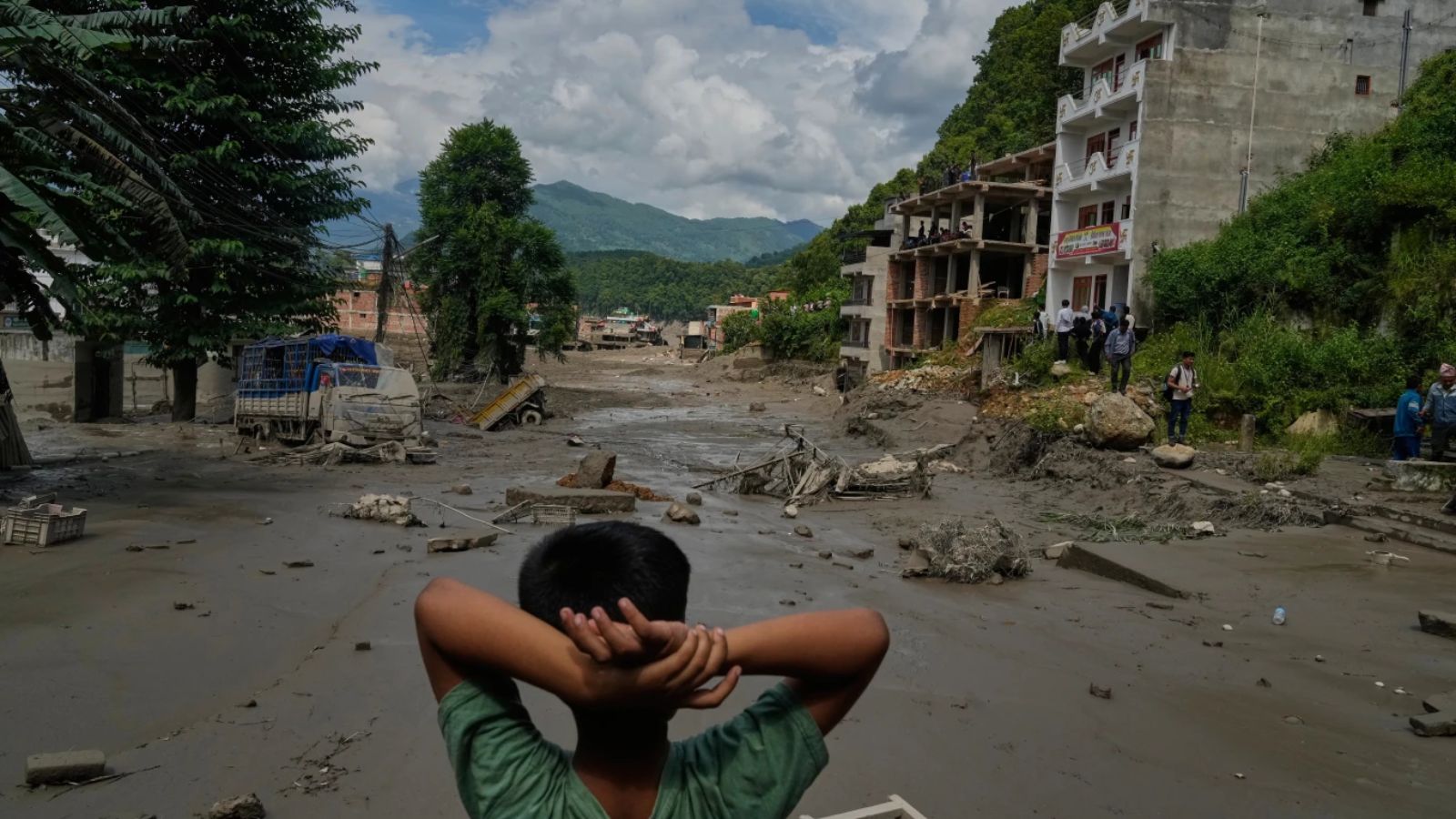
BozokMedia analysis shows that the geopolitical and environmental situation in the region is increasingly volatile. With recent flash floods reported in neighboring Nepal, the pressure on the Gandak river system has intensified, making real-time monitoring and rapid deployment of Water Resources Department (WRD) engineers essential for preventing a humanitarian crisis.
Effective disaster mitigation in flood-prone zones relies heavily on the seamless integration of real-time hydrological data and rapid ground-level response.
Local authorities in Bagaha confirmed that Standard Operating Procedures (SOPs) were activated early. Residents from highly vulnerable riverbanks have already been safely relocated to higher ground, and temporary shelters have been equipped with essential food supplies and medical kits to ensure minimal disruption to lives.
Historical Background
The Gandak River has historically been a major driver of both prosperity and devastation in North Bihar. The river's tendency to overflow during the monsoon season has necessitated decades of embankment construction and water management strategies, as the region remains highly susceptible to the erratic rainfall patterns of the Himalayan foothills.
Frequently Asked Questions
Question 1: Which districts were covered in the CM's survey?
Answer: The survey covered Valmiki Nagar, Bagaha, Bettiah, and Motihari.
Question 2: What measures are being taken for flood victims?
Answer: Authorities are relocating people to higher ground and providing food and supplies in temporary shelters.