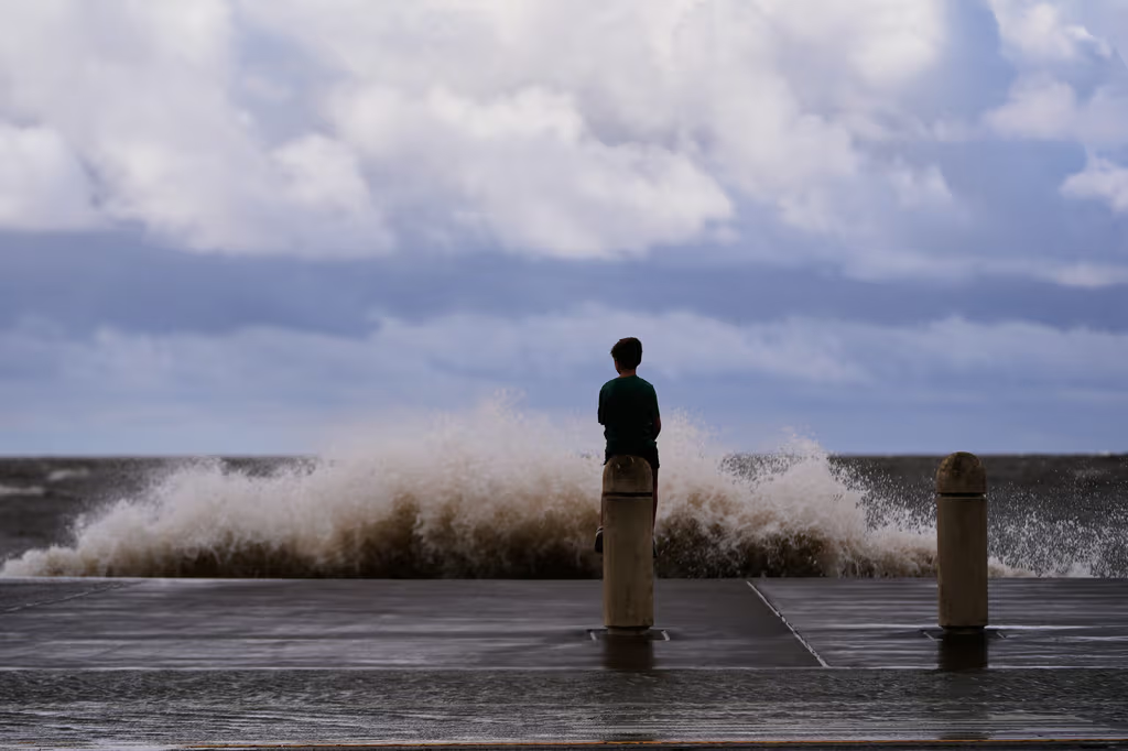
The National Hurricane Center has issued a tropical storm warning for the Gulf of Mexico coast. Meanwhile, the Pacific is seeing rapid intensification of Tropical Storm Lowell and the monstrous Category 4 Hurricane Karina.
- Tropical storm warning issued for the Texas-Louisiana border coast.
- Tropical Storm Lowell likely to intensify into a hurricane near Hawaii.
- Hurricane Karina reaches Category 4 strength, though it remains far from land.
The National Hurricane Center (NHC) issued a tropical storm warning on Monday for the Gulf of Mexico coast, specifically near the border between Texas and Louisiana. As of Monday morning, the potential tropical cyclone was located approximately 210 kilometers south of Morgan City, Louisiana, with maximum sustained winds of 55 km/h. Meteorologists predict it will intensify into a named tropical storm by Monday night.
Simultaneously, the Pacific Ocean is witnessing significant instability. Tropical Storm Lowell was positioned about 1,260 kilometers (785 miles) southeast of Hilo, Hawaii, moving westward with maximum sustained winds of 100 km/h (65 mph). Experts warn that Lowell could undergo rapid intensification into a hurricane between Monday night and Tuesday, potentially reaching the Hawaiian Islands by the end of the week.
Why This Matters
BozokMedia analysis shows that the simultaneous activity in both the Atlantic/Gulf and Pacific basins indicates an unusually volatile atmospheric pattern. The rapid intensification of storms like Karina and Lowell suggests that abnormally warm ocean temperatures are fueling these systems, increasing the risk of sudden, devastating landfalls that can cripple regional infrastructure.
"The rapid transition of tropical depressions into Category 4 hurricanes highlights a dangerous trend in climate volatility that demands immediate coastal preparedness."
In other parts of the Pacific, Hurricane Karina strengthened on Monday into a powerful Category 4 storm. Despite its intensity, meteorologists report that it currently poses no direct threat to land. Karina's center was located approximately 1,700 kilometers (1,055 miles) west-southwest of the southern tip of the Baja California peninsula in Mexico, moving west with maximum sustained winds of 220 km/h (140 mph).
While no coastal watches or warnings are currently in effect for Karina, high surf is expected to impact the coasts of Mexico and potentially Southern California. The Miami-based center noted that swells could intensify on Monday, followed by fluctuations in intensity.
| Storm Name | Current Status | Max Wind Speed | Affected Region |
|---|---|---|---|
| Lowell | Tropical Storm | 100 km/h | Hawaii |
| Karina | Category 4 Hurricane | 220 km/h | Pacific/Mexico Coast |
| Unnamed System | Tropical Watch | 55 km/h | Texas/Louisiana |
Frequently Asked Questions
Q1: Should residents in Texas and Louisiana evacuate immediately?
A: Currently, only a warning has been issued. Residents should monitor local authorities and official NHC updates for evacuation orders.
Q2: How dangerous is Hurricane Karina?
A: As a Category 4 storm, it is extremely dangerous; however, because it is moving away from land, the primary threat is high surf rather than wind damage.