The Department of Archaeology Museums and Heritage (DAMH) has partnered with NIAS to use advanced LiDAR and GPR technology to locate lost monuments in Lakkundi, Karnataka. This mission aims to reveal structures concealed by centuries of vegetation and soil.
- DAMH and NIAS signed an MoU for advanced archaeological surveys in Lakkundi.
- Technologies including LiDAR, GIS, and Ground Penetrating Radar (GPR) will be deployed.
- The search focuses on uncovering 10th-12th century Kalyana-Chalukya structures.
- The project supports Lakkundi's bid for UNESCO World Heritage status.
The historical landscape of Lakkundi, a prominent urban center in Karnataka's Gadag district, is set for a massive technological intervention. The Department of Archaeology Museums and Heritage (DAMH) has entered into a strategic collaboration with the National Institute of Advanced Studies (NIAS), Bengaluru, to identify ancient monuments that have been obscured by time and dense vegetation overgrowth.
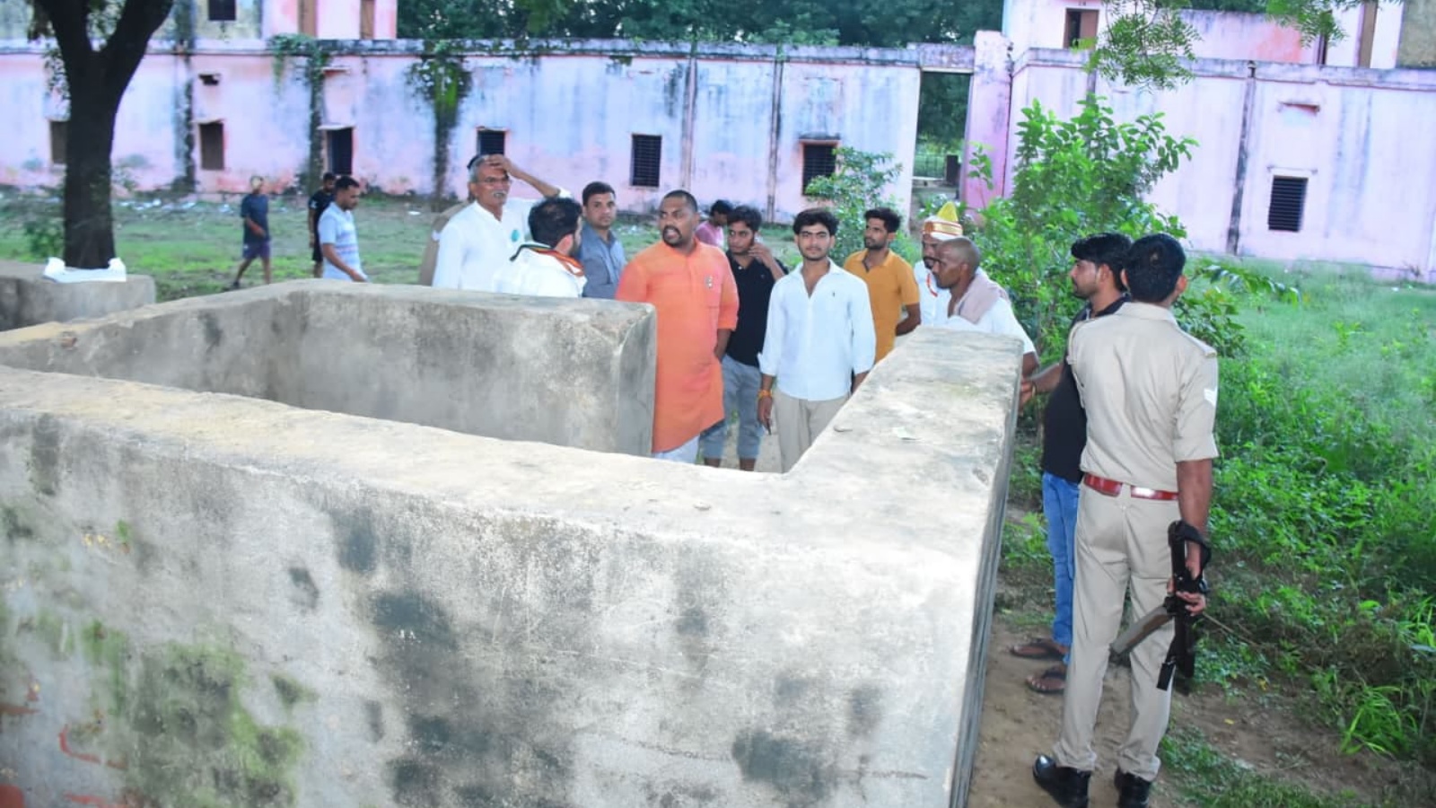
Local traditions have long whispered about the existence of 101 temples and 101 wells within the region, many of which remain invisible to the naked eye. Archaeologists suspect that the currently known monuments are merely the tip of a much larger archaeological iceberg from the Kalyana-Chalukya period (10th to 12th centuries CE).
The Scientific Approach: Beyond Traditional Excavation
To unravel these mysteries, the project will move away from conventional manual surveys toward high-precision digital mapping. According to A. Devaraju, Commissioner of DAMH, the mission will employ Light Detection and Ranging (LiDAR), GIS mapping, remote sensing, and Ground Penetrating Radar (GPR). These tools allow researchers to 'see' through thick foliage and detect subsurface anomalies without disruptive digging.
By utilizing LiDAR and GPR, archaeologists can pinpoint exact locations of buried structures, making future excavations significantly more efficient and non-invasive.
The initiative gained momentum following discussions between former Minister H.K. Patil and former ISRO Chairman Kiran Kumar, who suggested the integration of space-age technology into heritage management. NIAS experts will analyze historical photographs and utilize drone-based photogrammetry to create a comprehensive digital twin of the heritage landscape.
Why This Matters
BozokMedia analysis shows that this technological leap is crucial for India's cultural diplomacy. As the Karnataka state government prepares a Detailed Project Report (DPR) to propose Lakkundi for the UNESCO World Heritage tentative list, precise digital documentation becomes an indispensable asset in proving the site's global historical significance.
Lakkundi, historically referred to as 'Lokki-Gundi' in inscriptions, is a masterpiece of architectural fusion. Its temples represent the Vesara style, a sophisticated blend of Nagara, Dravida, and Bhumija architectural traditions that defined the Deccan's golden age.
Frequently Asked Questions
1. What is the role of LiDAR in this archaeological project?
LiDAR uses laser pulses to create high-resolution 3D maps of the ground surface, allowing archaeologists to detect man-made structures hidden under dense jungle or soil.
2. Why is Lakkundi being targeted for this study?
Lakkundi was a major urban hub during the 10th-12th centuries, and there is strong evidence of many more structures existing beneath the surface than what is currently visible.